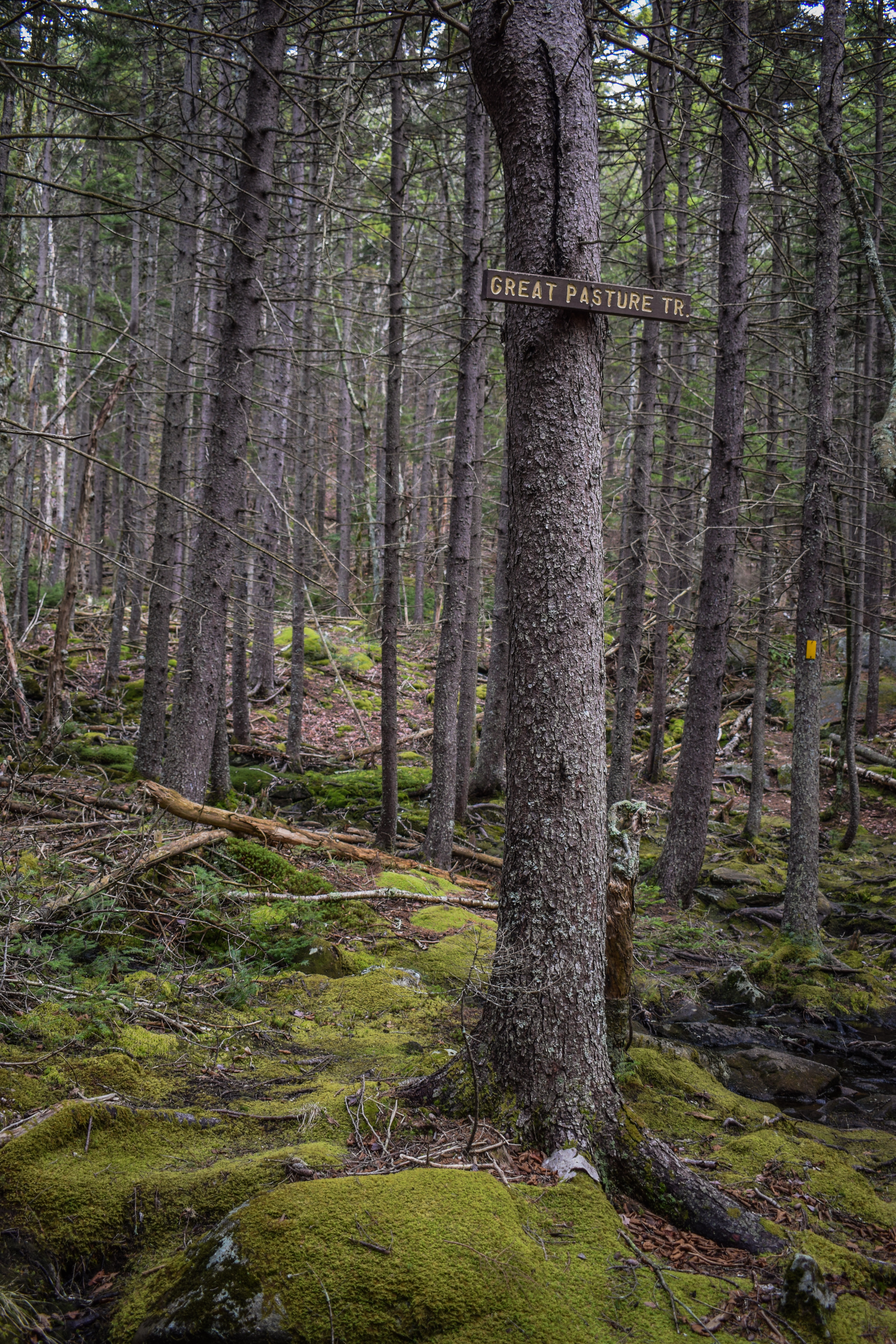
Mt. Monadnock via Birchtoft, Spellman, White Cross, Harling (Monadnock State Park)
Hike Type: Lollipop-Lollipop Loop
Distance: 8.45 miles
Elevation: 2,267 feet
Time: 3 hours, 35 minutes (3 hours, 30 minutes moving)
Hiking Challenges: Monadnock Redliner (2x)
Hiking Challenges: Monadnock Redliner (2x)

The Hike
I had a day off of hiking due to a friend's birthday birthday and a Jonas Brothers concert (it was INCREDIBLE), so I slept in LATE. I still wanted to get out and onto a mountain, so I opted to visit the Grand Monadnock yet again. I waited until a little later in the afternoon to avoid some of the crowds. I eventually left a little after noon, hit up the Leominster Cumbies for food, made a few wrong turns, and then got stuck behind an RV at the toll booth for Gilson Pond... They took their sweet time. Thankfully, the parking lot was delightfully empty and the ranger working at the toll booth was super kind (I had accidentally bought a pass for HQ instead of Gilson Pond - I swear online it said "all parking" - but she was like "as long as you're here on purpose you can park here!). Temps were in the mid-70s with a bit of humidity but a lovely breeze.
[2:22pm - Start of Hike on Birchtoft Trail]
My hike started by following signs for the Birchtoft Trail, hopping into the woods, and popping back out at one of the campsite parking spots, where the Pond Trail began.
[2:25pm - Pond Trail]
I followed the Pond Trail around Gilson Pond counter-clockwise. The clouds in the sky made it much cooler than the sun, which was lovely, especially with the humidity. The water levels in the pond were very low, which made sense considering the draught. There were some nice views from the pond with moody skies above, and at the bridge over the dam, the Ravine Trail began.
[2:29pm - Ravine Trail]
The Ravine Trail is a short trail that follows the outflow of Gilson Pond to a few backcountry sites and cross-country ski trails. The trailhead was pretty easy to miss and looked less-traveled than the Pond Trail.
The Ravine Trail started by crossing the outflow on some uneasy footboards before following the stream on the left with mostly fine, occasionally rooty footing. The stream was mostly still with the low water levels, and the trail was a little buggy - thankfully just gnats (I have some post-traumatic stress from the deer fly attack I suffered last time I was around here). Before I knew it, I was at the end of the trail, and I turned around to return to the Pond Trail.
[2:35pm - End of Ravine Trail]
[2:41pm - Pond Trail]
Back on the Pond Trail, I continued around Gilson Pond and successfully did NOT have a swarm of deer flies attack me - yay! There was a fish that fully jumped out of a water, probably to show off for me. The Pond Trail crossed a stone wall near it's junction with the Birchtoft Trail.
[2:51pm - Birchtoft Trail]
After a few minutes, the Birchtoft Trail turns right just before a series of large boardwalks. The Birchtoft Trail recrossed the same stone wall and passed an area of recent logging. I saw my first two people in this area. The blazes were mostly normal-sized red rectangles, but there were a few skinny red rectangles and a few white ones, too. I'm guessing the white ones were just faded, though. I found myself missing the 40-50 degree temperatures from my past few hikes, but this was still worlds better than some of my summer hikes.
The trail swung a corner at a sign and crossed another stone wall. Elevation gains have been easy so far, but I was absolutely pouring sweat from the humidity. I traversed over a few PUDs, and eventually made it to the junction with the Hinkley Trail, which would be the end of the loop later on.
[3:05pm - Birchtoft Trail/Hinkley Trail jct.]
The Birchtoft Trail continued to meander around a stone wall, crossed a cross-country trail (possibly a few, I remember seeing a lot, but I did not take good enough notes, apparently). I crossed paths with a father and his two kids, but the father looked upset and was hiking about 40 feet in front of the kids, which made me giggle. The trail continued to steepen to a height-of-land, where I wrung my soaking wet shirt out, crossed paths with a few people speaking what sounded like Russian, and then slightly descended to the Cascade Link/Red Spot junction!
[3:29pm - Cascade Link Trail
[3:30pm - Cascade Link Trail/Red Spot Trail jct.]
[3:33pm - Spellman Trail]
I turned right here and only followed Cascade Link for a few minutes, still ascending, to the real prize of the day - the Spellman Trail! I remembered loving the Spellman Trail last time, so I was excited to tackle it again! It starts off flat with a little view above the trees to the rock wall that towered above. The flat ramble continued before instantly switching to a scrambly rock pile.
The scrambly rock pile plateaus out on top of a dried-up waterfall and then meandered again to the base of another rock pile - this was the actual headwall and started the STEEEEP climb. I hit my first view at 3.34 miles of Pack Monadnock, Peterborough Gap, and Temple Mountain. The stupid steep climb continued, but at least it was the fun kind of stupid steep! I loved seeing a full panorama of the Wapack Range from North Pack Monadnock all the way to Watatic.
Once the trail gets ledgier, it becomes more important to follow blazes, as it becomes much easier to lose the trail. The final scrambles were the most fun, and then the Spellman Trail dipped back into the woods for some normal moderate-steep hiking. The footing was pretty dreadfull, but it eventually mellowed out. I stopped before the terminus to wring out my shirt before getting on the Pumpelly Trail. I was feeling a bit chilly now that my shirt was soaked with sweat, and the breeze added to that. There was a little bit of sun trying to shine, though!
[4:01pm - Pumpelly Trail]
Once on the Pumpelly Trail, I warmed back up again. I passed the sarcophagus and MANY different types of berries in various stages of growth and decay. I just love how beautiful the Pumpelly Trail is.
[4:10pm - Pumpelly Trail/Red Spot Trail jct.]
I passed the Red Spot Trail and reminisced about my first climb up this wonderful mountain - I was out of shape and in a conga-line of hikers since it was Columbus Day weekend. It's been about 10 years since I had last hiked Red Spot, so I was feeling excited to soon tackle it again. I caught a nice view of the summit area just before the trail dipped into what I started calling "Hot Chocolate Grove" - where Sarah and I drank hot chocolate on that dreadfully wet and cold day a couple Novembers ago. It looks like there may have once been a trail here? Not sure.
[4:23pm - Mt. Monadnock Summit]
I continued to climb up the rocks and slabs, past the cottony grasses, and soon arrived at the summit! I did not stay for long, as I was chilly and feeling goal-oriented. It wasn't too busy up top, but definitely windy!
[4:23pm - White Dot Trail]
I found myself almost instantly swimming up and downstream once on the White Dot trail, which made sense. I was soon sweating again as I slid past downhill hikers and nodding to the uphill ones.
[4:31pm - White Cross Trail]
I passed a guy who looked serious with a radio at the junction with White Cross Trail - maybe he was a ranger? I noticed that there were a few younger-looking adults way off-trail in the no-mans-land between Smith Connector and White Dot, maybe he was looking for them? He didn't acknowledge me, so I minded my business and continued on.
The old continuation of the Smith Connecting Trail was mostly grown-in, but still discernable (and on AllTrails, which is silly). The sun made a brief appearance, but soon went back away. This descent was MUCH better than the White Dot Trail, notably with MUCH better footing. I passed a group of teens on my way down and one of the girls laid down and grunted "I am one with this rock now," which I fully understood.
There was one rougher stretch, but it was aided with many rock stairs. Once I was back in the trees the crazy squirrels started to act up again, and I later passed an older couple that looked woefully unprepared and like they were NOT having a very good time!
There was another steep-but-well-constructed stretch of rock steps, which eventually bottomed out at an interesting area with some rope-pully system for an unknown cause? Maybe for trail work that has happened or will happen? Not sure. There was also a pile of small rocks with orange tape and sticks over it? I was confused!
After another long series of rock steps I hit a nice wooded walking break that felt very nice on my tired quads. My tendinitis started to act up in this area, which was around 5.69 miles, which I will take! The walking break eventually led to the terminus of the White Cross Trail.
[5:05pm - White Dot Trail]
I was now briefly back on the White Dot Trail and was NOT happy to be ascending again, but it was okay because it was short-lived. I passed two groups of hikers on the short stretch of the White Dot Trail.
[5:09pm - Cascade Link Trail]
[5:10pm - Harling Trail]
I was on the Cascade Link Trail just for a minute before turning onto the Harling Trail, which had a similar less-traveled character as the Ravine Trail. Footing was good just about the whole time and the ferns that lined the trail were getting into the autumn-decay colors, which was exciting! The trail descended at easy to moderate grades, eventually flattening out at a junction with a cross-country ski trail. My shorts were also uncomfortably wet from sweat. I am ready for winter!
The easy descent continued to the terminus of the Harling Trail, which was at a bridge.
[5:25pm - Hinkley Trail]
I crossed the bridge onto the Hinkley Trail - my final new segment du jour! The trail was mostly flat with many gnats, later descending to cross two mostly dry/stagnant streams on bridges with MANY gnats. I collected a few spider webs on the final easy rise to the terminus and junction with the Birthtoft Trail.
[5:37pm - Birchtoft Trail]
Back on the Birchtoft Trail, the big loop was now complete! It said 0.9 back to the car from the sign, and I immedaitely hit the PUDs from before, which was a lot on my tired legs (and gnat-covered body). I had the Jonas Brothers stuck in my head, which actually did help pass the time. Eventually, I got an emotional boost when I could see Gilson Pond through the trees!
[5:50pm - Birchtoft Trail/Pond Trail jct.]
I got even more excited when I reached the junction with the Pond Trail! A little too excited, though, because I immediately stubbed my toe which felt kind of horribly! I then got bit by a bug... Oh well. I flew across the boardwalks, crossed the campsite parking, through the small island of woods, and made it back to the car in mostly one piece!
[5:56pm - End of Hike]
I did a quick change in the parking lot, where only two other cars were left, and started my journey back home!
Step-by-Step
- Start hike on Birchtoft Trail.
- At camp parking area, turn right onto Pond Trail.
- After dam, turn right onto Ravine Trail.
- At terminus, turn around.
- At dam, turn right onto Pond Trail.
- At jct., turn right onto Birchtoft Trail.
- At terminus, turn right onto Cascade Link Trail.
- At second jct., turn left onto Spellman Trail.
- At terminus, turn left onto Pumpelly Trail.
- At summit, follow sign for White Dot Trail.
- At jct., turn right onto White Cross Trail.
- At terminus, turn left onto White Dot Trail.
- At terminus, continue onto Cascade Link Trail.
- Soon after, turn right onto Harling Trail.
- At terminus, continue left onto Hinkley Trail.
- At terminus, turn right onto Birchtoft Trail.
- Follow Birchtoft Trail to car.
Map of Monadnock State Park
Photo Album