Showing posts with label New England Trail. Show all posts

Saturday, June 21, 2025

Mt. Grace via Round-the-Mountain Trail and NET (Mt. Grace State Forest)

Mt. Grace via Round-the-Mountain Trail and NET (Mt. Grace State Forest)

Hike Type: Loop
Distance: 5.85 miles
Elevation: 1,581 feet
Time: 2 hours, 23 minutes (2 hours, 8 minutes moving)
Hiking Challenges: Massachusetts Fire Tower Challenge, Operation Alaska Benchmark Challenge

The Hike 
Another hike on a wedding weekend! Two of my best friends Jess and Bae were getting married in South Deerfield at the Magic Wings Butterfly Conservatory, so I drove out early in the morning and decided I'd explore Mt. Grace in Mt. Grace State Forest - an area I had not been to before. I decided on Mt. Grace one becuase it was new, two because it had a fire tower I had not yet visited, and three becuase it had a USGS disc I hadn't seen yet! I left at 6am, christened the Leominster Cumberland Farms at 7am, and made it to the trailhead just before 8am! I didn't sleep well, was still feeling a little sick, but I was excited to get out and do some exploring. The AllTrails and DCR maps didn't line up, and other peoples' recordings on AllTrails didn't match either, so I figured I'd just explore the best I could and see what happens!


It was a beautiful morning in the low 60s, and I was off! The hike starts on a nice open field with a shelter and picnic table before dipping into the woods in the furthest lefthand corner onto the Round-the-Mountain Trail, blazed with blue triangles. 


The trail in the woods was on wonderfully soft road grade that had some dried-up lady slippers on either side. The trail came to a split and I followed the "To Summit" side on the right, and at another split soon after I continued straight, which was not on the AllTrails map, but was on the DCR map. Here, the trail was briefly wet but soon dried out and began to climb steeply as the blue blazing continued. My bug spray went on and I continued to climb, moderately now, to the Fire Tower Road. 


Following the DCR map, I turned left onto the Fire Tower Road, noticing the New England Trail a few feet away in a grassy patch, and then descending along the gravel road. I wasn't fully confident that I'd find the trail I wanted, but I knew worst case scenario would be that I land on a real road and find the NET trailhead. I got my first and only mosquito bite, but was rewarded just after when I found the trail I wanted!


This trail, still marked with blue blazes (less, though), followed more road grade with a few rutted, wet spots. The trail followed the contour line and then descended for a while before turning and following a lower contour line. I noticed deer tracks in a few wet spots, but no actual sightings of large mammals. 


I rose through a bit of nastier wet spot, but it was line with blooming mountain laural, so I can't really ocmplain! There was one problematic blowdown that I had to bushwahck around, but I was soon at the junction with the New England Trail, which was clearly signed and blazed.


The New England Trail climbed up the ridge to Little Mt. Grace through some beautiful forest on a narrower footpath. The woods here looked almost gladed for skiing, I wonder? The trail climbed steeper through a blowdown patch that revealed some blue skies above, which was exciting! I also saw an eft in this area!


The outdated DCR map didn't show this stretch of trail as a part of the NET, but I am glad that it is now! The trail traverses the little plateau of Little Mt. Grace, with some tree views on the left, the best of which is just past the height-of-land in an open area. 


Descending to the col between the two peaks, the trail skirted above and around a few flowbowns while staying near the impressive drop-off on the left. I made it to the col and heard the sound of a larger mammal doing who know's what, but I never caught a glimpse. Most likely a deer. The NET climbed steeply out of a col, past a boulder and some fighting squirrels, and descends slightly near that grassy patch at the Fire Tower Road I saw earlier.


From here, the New England Trail follows a steeper road grade (possibly the old fire tower access road?), sometimes with and sometimes without power lines. I got cat-called by a red squirrel on this last climb and could soon see the tower! The final final push was through some more tall grass, which wasn't great, but was truly fine. I made it!


I found two USGS discs and then climbed up the tower, which had nice hazy/humid views in all directions. Mt. Monadnock was the star of the show, with the rest of the Wapack Range on the right, and then Mt. Wachusett after. I could make out the northern forks of the Quabbin Reservoir after that. Behind, I could just barely make out Stratton Mountain through the haze. I called the hotel I was staying at from the top of the tower, but sadly they said my room was not ready yet (which is so far, it was just after 9am). 


I was partially dreading the long return trip, but I was manifesting lovely trails on the return (spoiler alert: it worked!). I followed the Fire Tower Road for just a quick moment before turning left into the woods and starting the long (feeling) descent. The trail was medium-steep and eroded, but never al problem.


A little ways down, the trail splits. The right fork goes over another sub-peak while the New England Trail continued left, which I continued to follow. The trail continued to be eroded and unproblematic, but it seemed like a few more good rain storms could impact the trail a bit more severely. The trail entered a wonderfully fragrant area near a stream and continued to descend past a blaze someone had turned into a smiley face and then through a partially rerouted stretch.
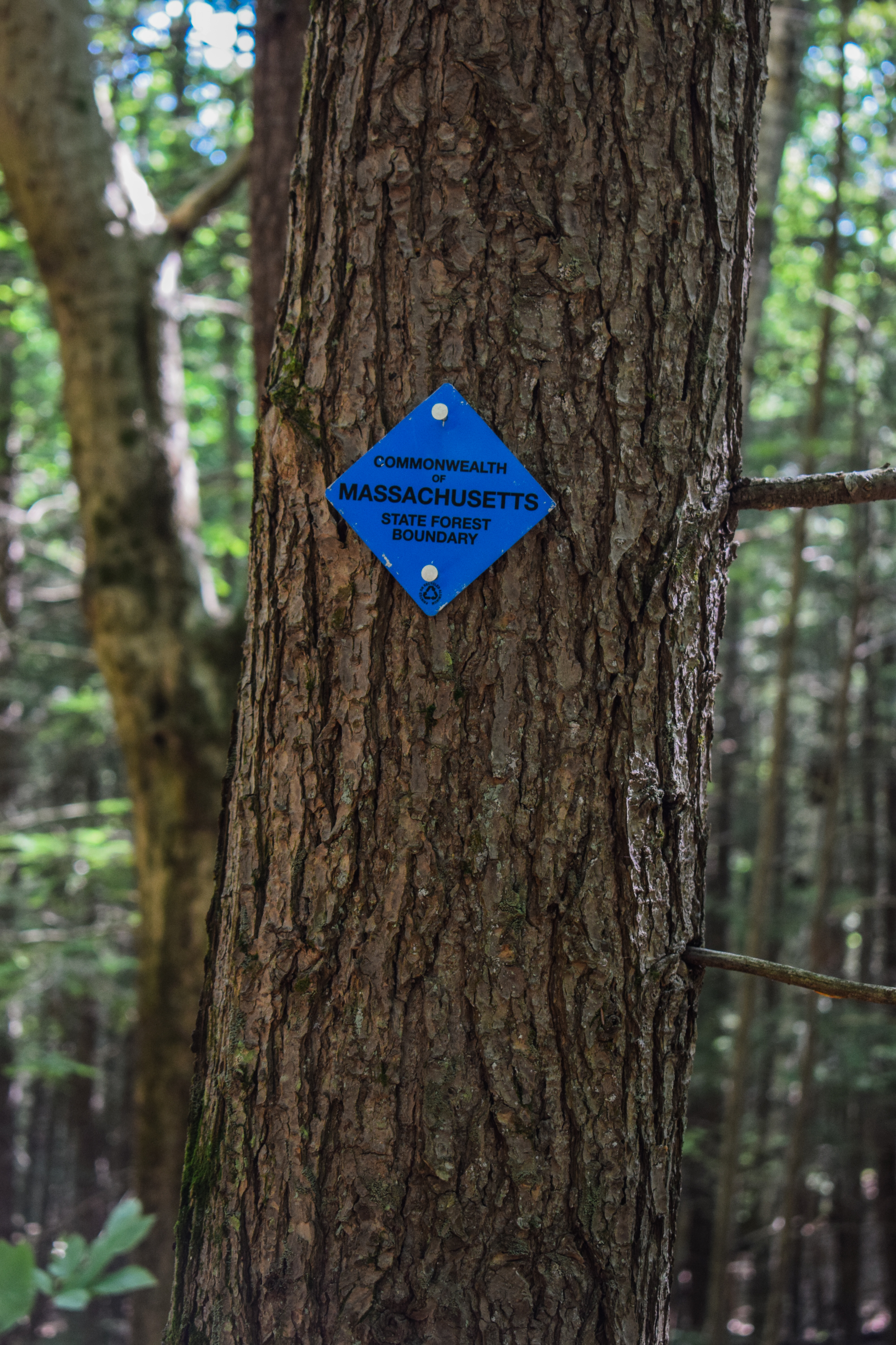

The Round-the-Mountain Trail joins on the left and then the two trails coincide for a bit, skirting the state land boundary, crossing a stream on a bridge (unnecessarily), and cominng to a shelter. The trail that split higher up termianted just after the shelter at a culvert crossing and the New England Trail became more wet as it continued to descend.


The trail became a bit grassier as it neared the road and eventually to where the Round-the-Mountain Trail turns right. I followed the NET to the road just for funsies and the possibility of finding a fun sign (I did not, but on the opposite side of the street had the final section sign). Now continuing on my last stretch of the hike on the Round-the-Mountain Trail, I hiked along more old road grade with good footing and no spiderwebs (I had collected at least 500 webs on the hike so far), paralleling a stream and the road. 

I came up what appeared to be a very intact rope tow engine, which was super cool! I stopped for photos, but was swarmed with bugs almost immediately, so I continued on. The trail rises and falls occasionally, but never too aggressively. The trail does trend upward near the end, with a few steep pushes followed by flats, and then slowly arrives at the field and parking area!


Only issue - there was a bridge over a flooded patch on the field, but the field was pretty grown-in, and it was WET. There was zero chance of escaping dry, so after my first horrible wet step, I just charged ahead to my car. There were three other cars in the lot, but I didn't see a single human! I had a wonderuflly scenic drive to the Taco Bell in Hadley, picked up some Legos at Walmart, and made my way to Northampton for the beautiful wedding festivities!


Step-by-Step
- Start hike on Round-the-Mountain Trail on left from main parking area (blue blazes).
- At perceived terminus on Fire Tower Road, turn left.
- Descend, turn right onto Round-the-Mountain Trail (blue blazes).
- At signed jct., turn right onto New England Trail (white blazes).
- Follow New England Trail up and over Little Mt. Grace and Mt. Grace.
- Descend via New England Trail.
- At MA-78, turn right onto Round-the-Mountain Trail (blue blazes).
- Return to car.


Friday, June 23, 2023

Mt. Tom via New England Trail (Mt. Tom State Reservation)

Mt. Tom via New England Trail (Mt. Tom State Reservation)

Hike Type: Reverse Lollipop Loop
Distance: 4.88 miles
Elevation: 1,050 feet
Time: 2 hours, 3 minutes
Hiking Challenges: N/A (Maybe the NET50 challenge if I go back?)

Note: I am writing this and the hike from July from current-day August, as I have fully fallen deeply behind but this journal is important to me.


The Hike
After of many years cosplaying as someone who actually still lives in New Jersey, I finally got my Massachusetts driver's license! The only issue was that it was a LONG process which involved me having to drive almost two hours to the DMV in Easthampton. Thankfully the DMV was lovely, I was the first one in, and I was super close to one of my favorite hikes from my undergrad, Mt. Tom! I also appreciated how just a couple days before, I was on the 4000-footer also named Mt. Tom! My GPS wanted me to take a long-closed road, but thankfully I had enough braincells to go the correct way. It was warm and soupy out with a good amount of bugs, but I parked, got suited up, and started on my journey!


I heard many morning doves (not owls, apparently), and was sad that I forgot my camera, but the show must go on! I first made my way to the Bray Tower, which provides a lovely view toward Easthampton and the Connecticut River Valley. There were some Mountail Laurels still in bloom, and soon enough I began wiggling my way through some random trails to eventually link up with the New England Trail/Metacomet-Monadnock Trail, the latter name seems to be phasing out. 


The main climb starts right after getting onto the NET, which was a bit of a doozy. My legs felt incredibly heavy, but that could like be due to yesterday's diet of Celcius and booze (it was the last day of school!). There were some steep switchbacks up the shoulder of the mountain, but the climb is rewarded with the first of many excellent views into the valley below. It was really fun being back here after so many years, some spots were familiar and others were like hiking for the first time again. 


The trail condition worsened after the first view, with some messy footing up a talus-y footbed, but all pain was well rewared with view after view! The first BIG view point came after a narrow chimney-like scramble, which may be called Whiting Peak (even if the height-of-land is on a different trail? I'm not sure, some passerby called it this). 


The hike continued on with steep, rugged, short ups and downs and many, many excellent viewpoints. The trail climbs more steadily nearer the summit where there were some lovely mountain laurel and more lovely views.


The summit area of this mountain is one of the most unique "urbanized" summits. No fire tower, no summit house, but some telecommunications towers with crumbling foundations and lots of grafiti, new and old - with of course a spectacular view! I didn't stay up here for too long since there were three girls in the full lululemon outfits taking their instagram shots. 


My return trip was lovely with countless songbirds and the occasional baby blueberry. From one of the views closer to the summit I noticed that you could see onto the south side of the Mt. Tom Ridge, which had some distant views of UMass and Mt. Monadnock! The rest of the overcast clouds cleared up on the return trip and came with a BREEZE, which may have saved my life. I also couldn't help but notice how incredibly dry the trails were, which was surprising after experiencing how wet the weather had been. I made it back in good time, and then FLEW to my friend Amanda's house in Holyoke to get some lunch!


Step-By-Step
- Park at small parking lot near Visitor Center at the end of the un-gated section of Reservation Road.
- Start hike by road walking to Bray Tower.
- From Bray Tower, continue on unblazed trail away from tower. 
- Turn left and cross reservation road.
- Re-enter woods on Quarry Trail.
- At first junction, turn right onto New England Trail.
- Follow New England Trail to Mt. Tom summit.
- Turn around at summit, and hike New England Trail all the way to Reservation Road.
- Turn left onto Reservation Road, walk back to car.


Mt. Tom State Reservation" from Massachusetts Trail Guide, 11th Ed. (2021)
Mt. Tom State Reservation preserves an area of 2,000 acres, including a section of tall traprock cliffs between Easthampton and Holyoke just west of the Connecticut River, commonly known as the Mt. Tom Range. The cliffs sport some of the best views in all of the Connecticut River valley, from the Berkshires in the west to the Pelham Hills in the east and long vistas north and south. In fall, Mt. Tom offers one of the premier raptor watching sites in the valley, with thousands of hawks and other birds of prey soaring past the mountain. Mt. Tom's summit is 1,202 ft.; other peaks of the ridge include Mt. Nonotuck (827 ft.), Goat Peak (822 ft.), Whiting Peak (1,014 ft.), and Dry Knoll (835 ft.). The Mt. Tom Range hosts one of the largest tracts of unbroken forest in the Connecticut River valley and is an oasis of biodiversity. 
    Picnic areas, two observation towers, scenic vistas, fishing on Lake Bray, and ice skating (in season) are some of the additional attractions of Mt. Tom State Reservation. The property includes a universal-access (UA) fishing pier on Lake Bray, a UA hiking trail on the shores of the lake, and nearby UA restrooms. The trail system consists of 20 mi. of blazed and maintained trails. About half of the trails are suitable for cross-country skiing of easy-to-moderate difficulty. Mountain bikes and motorized vehicles are prohibited on all trails. In October 2014, a thunderstorm produced a microburst (downdraft with powerful straight-line winds) that caused extensive damage to the forests near the MA 141 entrance and the upper portion of the auto road. 
    The former Mt. Tom ski area was purchased for conservation, recreation, and environmental education by a group of partners that includes the U.S. Fish and Wildlife Service, the Massachusetts Department of Conservation and Recreation, The Trustees of Reservations, and the Boys & Girls Club of Greater Holyoke. DCR owns the northern section, adjacent ot the existing Mt. Tom State Reservation. USFWF owns the southern section, including the former ski trails and a small pond; it is managed as part of the Silvio O. Conte National Fish and Wildlife Refuge. TTOR owns the northern portion of Little Tom Mtn., and the Boys & Girls CLub owns the former base lodge and surrounding area. 
    The partners are cooperating in inventorying and planning for passive recreation. As activities are allowed, information will be available on signs and kiosks at the property or from any of the partners. The road to the base lodge is currently gated; only authorized vehicles are allowed beyond it. Use caution in this area due to an active quarry-on-site, which means large, heavy trucks frequently use the road.
    To reach the Easthampton/MA 141 entrance from the south, take I-91 Exit 17B to MA 141 West. Travel west about 4 mi. on MA 141 to the entrance on the right. From the north, take I-91 Exit 18 to US 5. Travel south on US 5 about 1.5 mi. and turn right onto East St. Follow this road for 3.0 mi., turn left onto MA 141, and continue to the entrance on the left. To reach the Holyoke/US 5 entrance from the south, take I-91 Exit 17A to US 5. Follow US 5 north for 4.0 mi. to the entrance on the left. From the north, take Exit 18 off I-91 to US 5. Follow US 5 south about 4 mi. to the entrance on the right. Information on trails and regulations are at the visitor center near the jct. of Christopher Clark Rd. and Reservation Rd. and at park headquarters near Lake Bray at the south end of Reservation Rd. See Map 5 in this book. 

"[NET] Section 6. MA 141 to US 5/Connecticut River" from Massachusetts Trail Guide, 11th Ed. (2021)
One of the more spectacular sections of the New England Trail, this route follows the high ridge of Mt. Tom's steep talus slopes, including the true summit (1,202 ft.) and Whiting Peak (1,014 ft.). It then passes through the hemlock glens of Mt. Tom State Reservation on its way over Goat Peak and Mt. Nonotuck. From there, the trail descends on an old carriage road that leads to the Eyrie Houe hotel, the remains of which can be seen via a short spur path from the parking area. The sections ends at a gap in the trail at the Connecticut River.
    [...]. It climbs into a ravine with cliffs on the right, passes under power lines, and, after numerous switchbacks, reaches the top of Mt. Tom and the site of the old Mt. Tom Hotel (now occupied by a radio and TV transmission station) at 0.8 mi. Visible along the base of the traprock cliffs is a large area of forest that was blown down by a microburst in October 2014. The NET continues north along the top of the cliffs offering a succession of panoramic views of the countryside to the south, west, and north. 
    At about 1.9 mi., the NET continues straight at two intersections with red-blazed D.O.C. Trail. (The upper branch of D.O.C. Trail leads right 0.2 mi. to the tote road of the former Mt. Tom Ski Area; the lower branch bears left 1.1 mi. to Quarry Trail.) At 2.5 mi., after a steep descent from Whiting Peak, partly on stone steps, the NET passes near the woodsheds and shop area of Mt. Tom State Reservation and the northern terminus of Quarry Trail (yellow blazes). Quarry Trail leads back ot the old Mt. Tom Ski Area at 1.1 mi. The NET continues north through hemlock groves and a picnic area, reaching paved Reservation Rd. at 2.7 mi. [...].