Showing posts with label Sunrise Six. Show all posts

Tuesday, April 16, 2024

Wapack Trail: Peterborough Gap to Northern Terminus (Miller State Park, Joanne Bass Bross Preserve, Wapack National Wildlife Refuge)

Wapack Trail: Peterborough Gap to Northern Terminus (Miller State Park, Joanne Bass Bross Preserve, Wapack National Wildlife Refuge)

Hike Type: Out-and-Back
Distance: 11.45 miles
Elevation: 3,005 feet
Time: 6 hours, 25 minutes (5 hours, 44 minutes moving)
Hiking Challenges: 52 Hike Challenge, Operation Alaska Benchmark Challenge, Sunrise 6, Wapack Trail

The Hike 
I took a day off hiking to watch my friend in the Boston Maraton, but I was back to the Wapack Trail the next morning! I had a sleepy drive to Miller State Park and was on the trail by 5:00am - there was only an empty ranger car in the parking lot and MANY stars. Temperatures were in the mid 30s and I finally got the uninsulated waterproof boots I've been complaining about not having for forever!


I started the hike by hiking across the parking lot to where all the trails begin and finding the sacred yellow-triangle blaze! The trail meandered briefly through woods before crossing the auto road, which then led to a rugged and rocky climb with stars shining overhead. Route 101 was relatively loud, but I could tell there would be some views on the descent. I was down to base layers after 20 minutes and could notice the sky brightening on the relatively open, slabby trail. I was a little nervous about making it to the top for sunrise since I was getting a later start on a longer and tougher trail, but I was right on schedule when I hit the one-mile mark. 


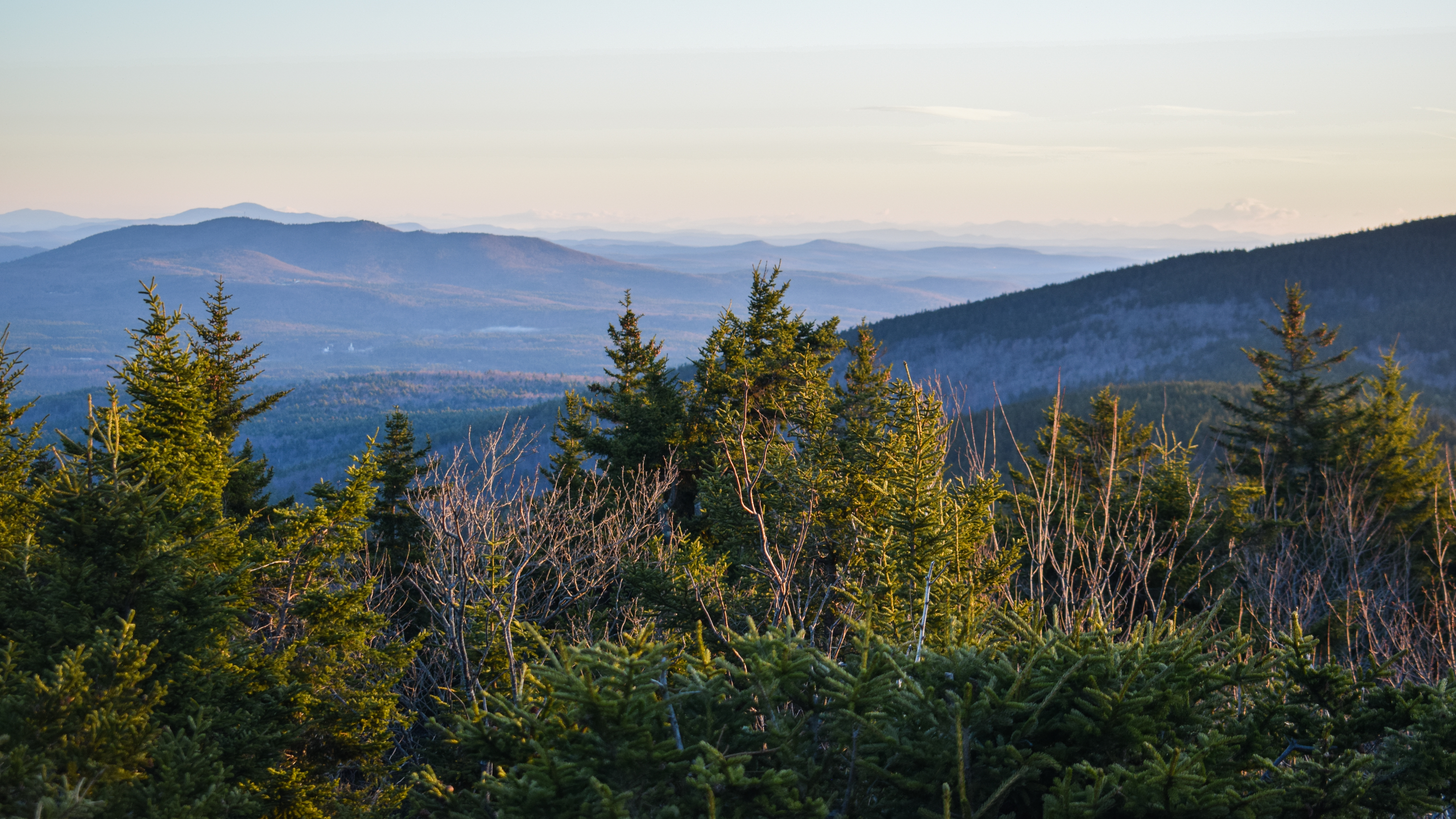
The trail continued deeper into the woods as a lower abdomen pressure incresed, which was concerning. The trail had a good amount of walking breaks, which balanced out the steeper sections well. It sounded windy from the treetops, but the air was mostly still down low. The trail began to open up again and was blazed with red dots for the summit loop (I wouldn't learn until later that I accidentally missed a turn for the Wapack Trail and skipped a section, but I would make it up later. The summit loop comes to a great view looking at North Pack Monadnock and the surrounding lowlands! In the distance the Sandwich Range was visible, which was very fun to see. 


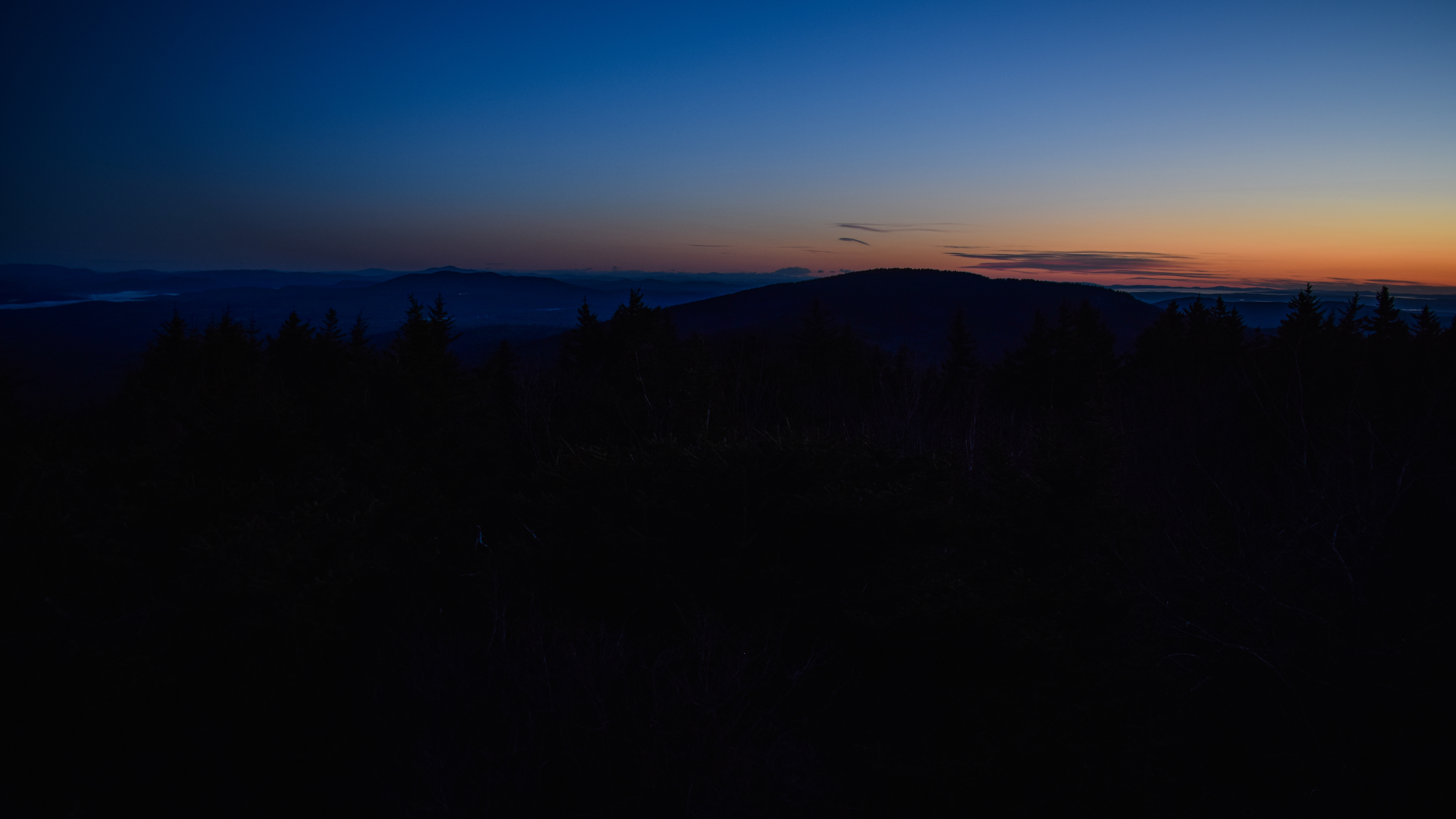
From here, I rejoined the Wapack Trail to hike to the true summit, where I found a great sitting spot behind a picnic shelter where I had sweeping views to watch the sunrise from. There wasn't another soul up top, and the shelter controlled any wind that was coming through. The only bad thing that was happening was that I had eaten too big of a breakfast at the car so my tummy was not hungry for hot chocolate, which was devistating, but I had to obey. 


With 10 minutes to go before sunrise I took a little walking tour of the summit area, exploring the fire tower and finding the USGS markers, along with some history of Miller State Park and the Air Quality Monitoring. 

Miller State Park: New Hampshire's First State Park
A gift from three acres atop Pack Monadnock in 1891 for use as a "park or pleasure-ground," Miller State Park has grown to more then 530 acres. "Pack," an ancient Abenaki word meaning "small," contrasts its summit with nearby Mount Monadnock. The site has included a "mountain highway," two different hotels that each succumbed to fire, and a fire look-out tower built by the Civilian Conservation Corps in the 1930s. The park is named for Peterborough native Gen. James Miller.

The Air We Breathe
Take a deep breath. How do you feel? Everyday each person breathes over 3,000 gallons of air, and pound for pound of body weight, children breathe even more air than adults. Clean air is important to all of us. Air pollution can make it hard to breathe, especially when we are active outside. In New Hampshire, air pollution comes from many places, both in and outside our state - sometimes even from hundreds of miles away! Air pollutants such as ozone and small particles can harm people and our natural environment. Take a look around at the beautiful views from here. How far can you see?
How far can you see?: Small particles in the air reduce visibility and obscure our views. In many places in the northeast, the "haze" from air pollution reduces our views.
What is small particle pollution?: Small particle pollution is a complex misture of extremely small particles and liquid droplets. These small particles are smaller than human hair.
Where does small particle pollution come from?: Small particles come from sources such as diesel trucks and buses, motor vehicles, construction equipment, power plants, woodstoves, and wildfires. They can also be formed in the atmosphere when gases are changed by chemical reactions.
Ozone: Good Up High - Bad Nearby: Ozone (O3) is a colorless, odorless gas composed of three oxygen atoms. In the upper atmosphere ozone forms a natural protective layer that shields the Earth from the sun's harmful ultraviolet radiation. Close to the earth, however, gound-level ozone, also known as summertime smog, is harmful air pollution.
Where does ground-level ozone come from?: Ozone is created from pollutants, nitrogen oxides (NOx) and volatile organic compounds (VOCs), that come from motor vehicles, industrial facilities and chemicals. These pollutants combine in the presence of sunlight and warm weather to form ozone.
How does air pollution affect your health?: Air pollution is a concern for all of us, especially for children, people with respiratory or heart disease, the elderly, and people active outdoors. Air pollution can damage lung tissue and make existing respiratory diseases such as asthma and bronchitis worse. Unhealthy levels of ozone and small particle pollution can limit your ability to take a deep breath. They can cause coughing, throat irritation, breathing discomfort, wheezing and shortness of breath. Very small particles are the greatest health concern because they pass through the nose and throat and get deep into the lungs. For people with heart or lung disease or older adults, small particles may increase the risk of cardiac arrest and premature death.
How can we keep our air clean?: When we drive to work or school, or use electricity, we make choices that affect air pollution because ozone and small particle pollution come from cars, buses, and power plants. Using energy efficiently helps to reduce air pollution. When we use less energy we help everyone breathe clean air and we save ourselves money too! We can all do our share to reduce air pollution and keep our air clean and healthy to breathe. Here's how you can help...

Measuring Air Pollution
Measuring Air Pollution in New Hampshire: New Hampshire has measured outdoor air pollution since the early 1960s at a variety of air monitoring stations throughout the state, similar to the one you see here. An air monitoring station has instruments to take in samples of air and measure the amount of pollutants in the air. The Department of Environmental Services uses air monitoring data to determine how clean our air is, to predict air pollution events, and to notify the public when pollution levels are high. This information helps protect public health and the natural environment.
What is meausred here?: This station collects information on pollutants and weather: ground-level ozone (O3); small particle pollution (PM2.5 and PM10); carbon monoxide (CO); sulfur dioxide (SO2); nitrogen oxides (NOy and NO); volatile organic compounds (VOCs)/weather information: wind speed; wind direction; temperature; rainfall; barometric pressure; relative humidity.

I went into the (unlocked!) bathroom and made at attempt at christening, but only produce what must have been the most resonant act of flatulance any privy has every experienced. Following my fanfare, the sun began to pop above the horizon and my act of taking 15,000 photos began. I checked out the Boston Overlook, fire tower again, and ever-changing landscapes as the orange light grew brighter. From the Wapack Trail South, there was an excellently framed view of Mt. Monadnock, which was very fun to watch get illuminated. 


By the time the sun was up it was 39 degrees with a small breeze and gusts up to 10mph. I got to hear all the birds, chipmunks, and squirrels wake up and start their morning chores. I, as per usual, wish I brought my zoom lens! Some day I will learn. I saw one person walking the auto road just as I began to continue my hike.

The Wapack Trail travels back to the previously mentioned view north and then descends over easy ledges into a mossy woods, where it leaves Miller State Park and comes to a memorial outlook with more great views (and some traces of snow in rock crevices). 


The woods on this north side of the mountain were much more lush and dense compared to the relatively open hardwood forest on the south side - I really was able to enjoy the sights and sounds of solitude. 


There were seasonal views of both Pack and North Pack Monadnock from the long col, and then the trail entered a nature conservancy followed by the Wapack National Wildlife Refuge soon after.


Welcome to Wapack National Wildlife Refuge!
What is Wapack?: Established in 1972, Wapack was the first national wildlife refuge created in the state of New Hampshire. The refuge is administered by the U.S. Fish and Wildlife Service, the federal agency responsible for conserving, protecting, and enhancing fish, wildlife, plants, and their habitats for the continuing benefit of the American people. Wapack is part of the National Wildlife Refuge System, the world's largest network of lands dedicated to wildlife conservation. At Wapack National Wildlife Refuge, WILDLIFE COMES FIRST!
Enjoying Wapack: Wapack Refuge is open from sunrise to sunset for hiking on designated trails. Snowshoeing and cross-country skiing on trails is permitted when snow is present. The refuge has a carry-in/carry-out policy, so please take all trash with you.

I began my climb up North Pack Monadnock by being yelled at by the most insane bird call I've ever heard - somewhere between a turkey and a crow/raven. I also noticed that overall, the trail wasn't as blazed and the footbed was less worn in this area. It was also here that I realized Wapack meant Watatic to Pack Monadnock - incredible!

I passed the junction with the Cliff Trail, which seems like a fun side-path, but something I would save for another day, and then came to a swampy area that still had some frozen patches. Soon enough the trail continued through an eroded shallow chute-like area and then opened up to the open summit! Open summit meaning no tree canopy, but there was only a small view of Mt. Monadnock. There was a great view of the giant cairn marking the summit, though!


I was having a snack when someone else joined me at the summit from the Pack Monadnock side - I was really enjoying the almost butter packets I got on sale from Sierra. After shifting a little, I found a view back toward Pack Monadnock, where there was a clear difference in the deciduous and coniferous forests. 


I followed a herd path to what AllTrails calls the true summit, which was just more open slab, and I have no idea if it was real or just a silly short side trip. I shoved my way through a bush to get back onto the Wapack Trail for my final "new" descent, and immediately crossed two people and their puppy who did not have great recall. They seemed confused why I was descending if I didn't spend the night and wasn't doing a shuttle hike. I told them it was simply a nice day for a long hike, and they agreed!


The trail traversed two small "icebergs" and began to descent over slippery rocks, eventually leading to a blowdown area and then more slippery ledges. The puppy eventually made its way back to me and was my guide dog for 3-5 minutes while it's owner yelled through the woods... at least it was cute!

The ledges open up to meadowy area with partial views north, followed by a lovely ramble through relatively open woods with some bog bridges. I continued through a small mountain laurel grove and made my way to the parking lot - the northern terminus of the Wapack Trail! Besides a sore glute, I was feeling pretty good at my turnaround point! There was a trailhead kiosk and a unique boot brushing station...


Are your shoes clean? You could be spreading invasive species on the trail. Clean your shoes. Stop invasive species. Mud and seeds carry invasive plants. Use the boot brush under this sign to clean off before and after hiking. 

I turned around at the parking lot - 1.4 miles back up North Pack and 6 miles back to the car, plus or minus some lollygagging! From the meadowy area I realized that I could see Mt. Washington behind the Sandwich Range, which was unnecessarily exciting for me. A couple of trail runners passed me, and I continued to have a relatively easy climb back on up. The sun was feeling hot up top, which felt great. I decided to not have a break at the summit becuase I had leftover pizza in the car beckoning my name!


I continued right along down North Pack Monadnock and into the col, which felt mighty long at this point in the morning (something I love about sunrise hikes is how most of the day is morning, I was exhausted and it felt like 6pm but it was barely 10). The climb back up Pack Monadnock was a sweaty one, but I was fueled by the bluebird skies. I enjoyed the view of the Sandwich Range and Mt. Washington from that same spot just before the summit of Pack Monadnock, and I blasted through the summit to get to my pizza!


I learned on my initial descent that the turn I originally missed was right when the slabs opened up and I turned off my headlamp - go figure. I was flirting with also hiking up Temple Mountain to take some miles off my next Wapack hike, but I was tired and satisfied with my hike - figured I wouldn't push it. It was fun seeing the rugged trail for the first time on my descent!

I caught a final glimpse of Mt. Monadnock and made it down the steepest and scrambliest part of the trail right before the auto road. I hiked the uneventful spur from the main trail junction in Miller State Park to NH-101, and then made my way back to my car, which had a "sorry we missed you! please pay the fee") plackard on it - there's a HEAVY focus on the day-use fee for Miller State Park. Somehow seems more intense than Mt. Monadnock's. Oh well, I chit-chatted with the cashier for a bit and then started my drive home!


Step-By-Step
- Hike along the yellow-triangle-blazed Wapack Trail northbound from the Miller State Park parking lot to Pack Monadnock, North Monadnock, and the northern terminus.
- At northern terminus, turn around and retrace steps.


"Wapack Trail" from Southern New Hampshire Trail Guide, 5th Ed. (2021)
Section V. Pack Monadnock and North Pack Monadnock. This extended ridge culminates in two open peaks: Pack Monadnock (2.285 ft.) and North Pack Monadnock (2,264 ft.). (Pack is an American Indian word meaning "little.") The mountains stand between the towns of Peterborough and Temple and are well-known landmarks in southern New Hampshire and eastern Massachusetts. The summit and most of the southern slopes of Pack Monadnock are in a small state reservation, General James Miller Park. The entrance to the park (sign) is just off NH 101, 0.1 mi. west of the Temple Mtn. parking area. An admission fee is required. The road is gated when the park is closed; see nhstateparks.org for current fees and operating hours.
        Wapack Trail crosses NH 101 just east of the state park sign, enters the woods, and reaches a trail junction 25 yd. east of the state park parking area (sign at the east end of the parking area: "foot trails"). The blue-blazed trail on the right is the former route of Wapack Trail and is now Marion Davis Trail (described below). Wapack Trail is more scenic but also somewhat more difficult than Marion Davis Trail, particularly for descent.
        Wapack Trail continues north (left) from the trail junction near the parking area; crosses the automobile road in 0.1 mi.; and immediately scrambles up a steep, rocky pitch. Turning northwest, it skirts the crest of ledges with views southwest and passes two crevice caves. The trail turns briefly east, leading through woods and over ledges before crossing a hollow at 17.2 mi. It then runs north, angling upward parallel to the automobile road through a beautiful spruce forest. At 17.8 mi. Wapack Trail reaches a junction with red-blazed Summit Loop Trail (also known as Red Dot Trail or Red Circle Trail; described below), which leads to the right and continues straight ahead. Wapack Trail turns sharply right here and ascend, coinciding with Summit Loop Trail, to a parking area and fire tower on the summit of Pack Monadnock at 17.9 mi. (Note: Because several trails leave from the summit area, look carefully for the yellow triangles when descending to make sure you are on the intended route.)
        Wapack Trail continues north from the north end of the summit road, to the left of a stone lean-to (sign: "Wapack"), following a gravel path at first and then descending gradually over ledges. About 0.1 mi. from the summit, at an open ledge and picnic area with a fine view north and west, Raymond Trail (described below) diverges on the left. (The sign for this trail is a short distance downhill to the left, where Raymond Trail crosses Summit Loop Trail.) Wapack Trail bears right, soon crosses Summit Loop Trail, and descends over ledges. At 18.1 mi., at a left turn, a side path (sign: "Joanne Bass Bross Memorial Scenic Outlook") leads 35 yd. right to a viewpoint east and northeast. Wapack Trail moderately descends the wooded north slope past a spring and crosses a col at 18.6 mi. In 0.1 mi. it passes briefly through the Nature Conservancy's Joanne Bass Bross Preserve (sign), and in 100 yd. it enters the 1,672-acre Wapack National Wildlife Refuge (sign). Wapack Trail crosses another col and ascends through fine spruce woods over a knoll (sometimes called Middle Peak) at 19.2 mi. At 19.6 mi. it reaches the junction with Cliff Trail on the right. (Cliff Trail, described below, is a longer and rougher but more scenic alternate route from here to the summit of North Pack Monadnock.)
        From its southern junction with Cliff Trail, Wapack Trail continues north along the ridge then swings right and ascends fairly steeply to the summit of North Pack Monadnock, marked by a large cairn, at 20.3 mi.; Cliff Trail rejoins from the right. (In the reverse direction, look carefully for yellow blazes where Wapack Trail descends southwest off the summit, to the left of a southwest outlook.) Ledges around the summit area provide partial views in several directions; the best views are at 0.2 mi. and 0.5 mi. down Cliff Trail.
        From the summit, Wapack Trail descends generally north at a moderate grade through spruce forest, with occasional steeper pitches. (Ledges in this section may be slippery when wet and are often icy in late fall and spring.) The trail continues down through an area of overgrown pastures with occasional views north, passing the last view at 21.0 mi. (In this area, take care to follow blazes in order to distinguish the trail from other paths.) In another 0.1 mi. Wapack Trail descends a steep, rocky pitch and swings left at an easier grade. It traverses a flat area and crosses a brook at 21.6 mi. At 21.8 mi. a spur path leads 0.1 mi. left to a trailhead parking area on Mountain Rd., where the original route continues ahead, descending to Mountain Rd. in 100 yd.
        To reach the trailhead parking area by car, from NH 31 at the blinking light in Greenfield go south 2.8 mi. and turn right (west) onto Russell Station Rd. In 0.8 mi. turn right onto Mountain Rd. At 2.7 mi. from NH 31, just beyond the older trailhead, the parking area is on the left. 


Sunday, April 14, 2024

Wapack Trail: Southern Terminus to Stony Top (Mount Watatic Reservation, Asburnham State Forest, Binney Hill Preserve, Binney Pond Natural Area, Wapack Wilderness)

Wapack Trail: Southern Terminus to Stony Top (Mount Watatic Reservation, Asburnham State Forest, Binney Hill Preserve, Binney Pond Natural Area, Wapack Wilderness)

Hike Type: Out-and-Back
Distance: 11.78 miles
Elevation: 2,100 feet
Time: 6 hours, 14 minutes (5 hours, 20 minutes moving)
Hiking Challenges: 52 Hike Challenge, Operation Alaska Benchmark Challenge, Sunrise 6, Wapack Trail

The Hike 
I was more excited than usual to start this hike! The mountains up north are still coated in snow and the trails an absolute mess, so I was glad to have found a goal to work towards down here in the "south." In addition to exploring the Wapack Trail for the first time and hiking Mt. Watatic for the first time, this was also going to be my first real sunrise hike fully on-trail fully in the dark, which is a fear I've been wanting to conquer for a long time. My 3am alarm got me up and out, I had a short stop at a Fitchburg Cumberland Farms where I horribly did NOT have to use the bathroom, and made it to the trailhead just before 5am. It was 37 degrees at the rutted dirt parking lot. There were two other cars with seemingly nobody in them and crystal clear skies full of stars. The frogs were chirping loudly from the nearby pond, and then something horrible happened... I had to use the bathroom.


I started my hike at 4:45am and IMMEDAITELY had to hop over a stone wall to christen the woods. Humbling, to say the least. The trail was wet, but not muddy, and soon crossed a long bridge over a beautifully sill pond that reflected the stars. The water was high, but the bridge was dry. The trail got more wet after the bridge, which stayed a theme for most of the day. It wasn't until one particularly wet spot I realized I left my poles at my car, which wasn't horrible, but also wasn't great. The trail crossed a small stream and then went between two great boulders, signaling the beginning of the climb. 


The climb was mostly moderate with a few steeper pitches. There were a few herd paths trailing off, which was interesting to navigate in the dark. Thankfully, the Wapack Trail was well-blazed and I was always able to see the next blaze. My puffy soon came off and my fleece soon after - I also blinded myself a few times with my foggy breath reflecting the light of my headlamp right in front of me.

The trail briefly leveled out, still covered in mud, followed a cool old stone wall, and led to a first viewpoint (which I would later learn was pretty obstructed). I couldn't see much of anything besides a slowly lightening sky and a memorial stone for "Gary Evan."


Higher up, the temperature was cooler and the wind was windier. There wasn't always a clear footbed, but I was able to follow blazes easily. Soon enough, I was at the summit! The summit was marked by a large cairn, but the first lights were just beginning so there wasn't yet much to see. I found a nice spot to sit which was mostly out of the wind. I really enjoyed how quiet it was up here. I made some hot chocolate and ate the second half of my breakfast Cumberland Farms ham & swiss sub as I watched the sky slowly get pinker and pinker. There were just a few clouds over the eastern horizon, but not enough to negatively affect the show. 


I started to get chilly after my hot chocolate, so I left my stuff at my sitting spot and explored the summit area. The large cairn was surrounded with old firetower footings and two USGS markers. There was an inscribed stone marking the summit area reading:


"Mount Watatic: Elevation 1,832 ft; Protected as public open space by the people of Ashby and Ashburnham and the Commonwealth of Massachusetts July 2002.
Other stones in other places may commemorate the histories of people and things now dead and gone. This stone marks the site of a mountain that lived, a mountain that lives on because of people who cared, people who started with nothing but a dream and the will to work for it, until the dream became as real, as solid as this stone, as sure as this ground beneath your feet, as true as this mountain on which you stand, this mountain holding you up to meet the sky."

The morning doves began singing at 5:45am, and the sun broke through the horizon just after 6:00am. Wow! What a spectacular show. I followed a footpath to a nearby open ledge that had the most spectacular viws. When I wasn't damaging my retnias by staring directly into the sun, I was admiring the highlights and shadows being showcased on and between the nearby hills, including a great view of Mt. Wachusett. There was also another USGS marker on this ledge! As per usual, I wish I had remembered to bring my zoom lens. I wrote in my notes "this was worth the early wake up and having to s*** in the woods."


After picking my jaw up off the ground and taking at least 1,000 more photos, I continued my journey northward along the Wapack Trail, heading toward the MA/NH border. I had a graceful fall on a mossy rock and admired the lush, mossy forest on this side of the mountain. The trail rose again to the Nutting Ledges, which provided a nice view back to Mt. Watatic. 


The trail followed a neat stone wall for some time along an old road bed that was impressively wet and muddy, which led right to the state line! Once in New Hampshire the trail was drier, but there were still many muddy spots. There was a lovely bench at an unsigned junction (I think which led to a logging business or personal residence? unsire). The temperature had risen to the 40s with many songbirds out and about. The trail continued to vary from dry road bed to bottomless mud pit, but the rest of the environment made up for it. 


The trail continued on into the "Binney Hill Wilderness" - the sign was stylized like the wilderness signs in National Forests, which was fun. 


"Welcome to Binney Hill Wilderness Preserve!
You are standing in a rewilding forest on this historic Wapack Trail. Created in 2016, the 535-acre Binney Hill Wilderness Preserve is protected as forever-wild by Northeast Wilderness Trust, which works to protect and add to the Preserve.
When this property was first conserved, it had been recently logged. Now, every tree here is safe from cutting. In a few generations this land will again host an old-growth forest.
Wild places offer many gifts: they clean water and air, store carbon, and provide people with the opportunity to experience, enjoy, and study nature. Most importantly, they are homes for the many plants, animals, and fungi who live within."

This led along a drier stretch of old road and then through a gate to a clearing of frosty, dry grass that will definitely be a tick magnet later in the spring. Right at the height-of-land there was a sign with QR code that gave instructions on how to help document the re-wilding of this logging clearing, followed by some logs with small, neon-colored mushrooms. 


"NWT-101: You can help document the changes in this ecosystem! This clearing was formerly a log landing for a timber operation, and is now rewilding. Simply upload a photo to see how this landscape has changed over time. Email to upload@chronolog.io with the subject line NWT-101."

Soon after, the trail passed another gate and came to a kiosk detailing the rewilding process:

"A Rewilding Forest in Action: Rewilding is the practice of giving land the freedom to follow its own course, rather than managing it for human gain. Over time, rewilding young forest like the one you're standing in will become an old-growth forest.
Young Forest: A young, heavily-managed forest is bright, has smaller trees, and has very little dead wood on the forest floor.
Mature Forest: Winter Wrens tent to live in older forests because they nest in tree cavities and in the roots of tipped-over trees. Listen for their distinctive song in the spring and early summer!
Old Forest: Ancient forests are darker and cooler than young ones, and have layers of leaves, sticks, and logs on the ground. Old trees die and fall, creating gaps in the canopy and exposing fresh soil where young plants can take root. With diverse tree ages and complex habitats, many kinds of species can thrive. Predators like fishers (a king of weasel) need large, connected forests to roam, find prey, mate, and raise their young."


From the kiosk, the trail turned left onto an older road that had some impressive pools of water, and I couldn't help but feel a bit anxious about how bad the trail would be around Binney Pond - the guidebook mentioned detours may be needed due to beaver flooding. The trail continued off of the wide road and descended down to the banks of the pond with a smoky smell in the air - the source was never found. The trail was in good condition and led to a sign explaining the parcel of land:


In Honor of Shirley Sawtelle, the Friends of the Wapack, and many donors, volunteers, and friends who helped protect this land! Welcome to the Sawtelle Addition - a 47-acre parcel that was purchased by Northeast Wilderness Trust in 2020 to expand the Binney Hill Wilderness Preserve to 535 acres. Protected as forever-wild, this wild land safeguards... the western edge of Binney Pond, completing the protection of the entire pond's shoreline; a stretch of the historic Wapack Trail that meanders across boardwalks that were built by Eagle Scout Jacob Varney and the Ashby Boy Scout Troop; wildlife habitat that supports beaver, bobcat, moose, bear, turkey, deer, songbirds, and more; healthy forestland within a 6,000-acre intact wildlife cooridor. To learn more about Northeast Wilderness Trust's work in southern New Hampshire and beyond, visit www.newildernesstrust.org or scan the QR code above with a smartphone camera.

From here, there were EXCELLENT (and only a few slightly sketchy) boardwalks, making what would have been a very wet hike incredibly lovely. There was one great view of the pond, and many obstructed views - plus a few honking geese. After the boardwalks, the trail continued through a Mountain Laurel grove and then a blowdown area where the trees were protecting what was left of the snowpack (also it smelled AMAZING - just like the Balsam & Fir Yankee Candle). Only downside was that there were some bugs starting to rise from the depths of hell.


I found the following informaiton on the Binney Hill Wilderness Preserve from their website:
"Binney Hill Wilderness Preserve" from www.newildernesstrust.org
        Binney Hill Wilderness Preserve protects 550 acres in New Ipswich and Rindge, NH. The Preserve protects Binney Pond and much of its shoreline, more than a mile of the historic Wapack Trail, and habitat for moose, bobcat, and other wandering wildlife.
        The Binney Hill property was purchased by Northeast Wilderness Trust in October 2016, protecting 488 acres across four parcels in southern New Hampshire that preserve connectivity for wildlife and people in this region. This land abuts the Binney Pond Natural Area to the north and Ashburnham State Forest to the south, and serves as a bridge between the Wilderness Trust’s Wapack Wilderness easement (1,428 acres) and protected areas surrounding Mount Watatic in Massachusetts.
        This land is a key connector in a major forest block, tying together a total of 6,000 acres straddling the New Hampshire–Massachusetts border. This land is home to moose, bobcat, black bear, and deer. In addition, more than a mile of the historic Wapack Trail traverses the Binney Hill parcels. This project ensures ongoing access for hikers, runners, and nature lovers alike.
        Community support from the Friends of the Wapack (a volunteer group dedicated to preserving the Wapack Trail), Town of New Ipswich Conservation Commission, foundations, and generous individual donors all helped make the conservation of Binney Hill possible. In 2020, the Preserve expanded by 47 acres with the Sawtelle Addition, and in 2021 it grew by 15 acres with the Steel Addition.
        If you are interested in hunting permission for Binney Hill Wilderness Preserve, please visit our Hunting Program page.
        Every Northeast Wilderness Trust Ambassador Preserve has a Rewilding Photo Point. These stations engage passersby with the rewilding process, inviting people to take a photo and contribute to a timelapse that shows ecosystem changes as the land returns to nature’s reign. Learn more and view all our photo points here.
        The State of New Hampshire has identified this area as the highest ranked habitat in the region in its Wildlife Action Plan.

...and of the Sawtelle Addition...
"The Sawtelle Addition" from newildernesstrust.org
        The Sawtelle Addition geographically links the forever-wild forests of Binney Hill to the Wapack Wilderness. It holds a beautiful section of the Wapack Trail and serves as a critical migration route for wildlife. Alongside the State of New Hampshire’s Binney Pond Natural Area, the protection of this tract means that now, the entire Binney Pond shoreline is safe from development.    
        The Sawtelle Addition is in a location where the movement of species in response to climate change is concentrated through a narrow area. Game cameras on the Binney Hill Wilderness Preserve confirm that a variety of species use this corridor regularly, including moose, bobcats, coyotes, and other mammals. In 2015, the State of New Hampshire identified this area as the highest ranked habitat in the region in its Wildlife Action Plan.
        Ken and Shirley Sawtelle purchased this property on Binney Hill Road in the 1970s for recreation and a source of firewood. They enjoyed hiking on the Wapack Trail, taking in the view of Binney Hill Pond, and in the spring, the wildflowers put on breathtaking shows of mountain laurel, trailing arbutus, lady slippers and trillium. In 1986, they built their dream home and settled in with the wildlife. After Kenneth’s passing in 2018, Shirley generously offered to sell a portion of the land to the Northeast Wilderness Trust. The Wilderness Trust officially purchased the property in early 2020, adding it to Binney Hill Wilderness Preserve.
        The family of beavers that Shirley has come to love on her property have been making travel difficult on West Binney Hill Road, one of the primary ways to access the Binney Hill Wilderness Preserve. History shows us that when beavers interfere with roadways, the beavers often lose. As part of this proposed conservation project, the Wilderness Trust has installed a beaver deceiver, which allows the beavers to continue living on both sides of the road, while regulating the water depth to maintain access to the Preserve.
        Though the parcel is a modest 47 acres, its value for nature and people far outsizes its small acreage. Since it sits exactly between the Wapack Wilderness forever-wild easement property and Binney Hill, it creates a contiguous protected area of nearly 2,000 forever-wild acres. It also safeguards the historic Wapack Trail for future generations, since the trail meanders past the pond over beautiful boardwalks built by the Ashby Boy Scouts in 2001. The boardwalks afford a pleasant hiking experience above the wet terrain, views of the pond, and protection for the fragile wetland soils and natural water flow. 

The trail began to gently climb above the pond, providing more seasonal obstructed views, and I passed my first terrifying grouse of the season! I found a nice sitting rock with a seasonal view of the pond on one side, and the looming climb up Pratt Mountain on the other. I think I succesfully avoided any beaver flooding? Ironically, this was the driest part of the trail all day!


The trail dipped, before starting the steep climb up Pratt Mountain, into a col where there was an aggressively well-signed spring (which was also silly considering how much water was literally everywhere). I really missed my poles heading up Pratt, but the steep climb wasn't too long. Just before the summit there is a signed outlook overlooking Binney Pond, Mt. Watatic, and Boston! I loved how remote this hike felt, especially for southern New Hampshire.


I continued my climb up to the relataively featureless open/slabby summit, and found a lovely view of Mt. Monadnock just after. I was wishywashy about where my turnaround point was going to be, but I continued on toward Stony Top, which was an easy bit of trail. I hiked past a GIANT vulture just chilling on a nearby tree, too.


There is a great view of Mt. Monadnock from Stony Top with a few plaques honoring the Wapack Wilderness and a few notable people. At this point, it was 40 degrees and sunny with a bit of wind. I would have stayed much longer if I had more layers, but the 5mph wind and 10-15mph gusts were just a little too much for me to stay warm. My beef stick, however, saved my life. I also used my PeakFinder App to ID Stratton and Bromley mountains - their snowpack still looked good from afar!


After my nice break I packed up my mess and started my long, but never boring, return trip. I appreciated how many "landmarks" there were on this hike (Pratt Mountain, the pond, the boardwalks, the pools on the wide road, the rewilding area, etc.). I noticed some frog eggs floating about in some vernal pools, too! I didn't pass my first person until I was 8.2 miles and 4 hours, 52 minutes into my hike, and that was back at the rewilding area, nearer Mt. Watatic. 


Some wispy clouds began to roll in as my enegy began to dip, but thankfully the hardest hiking of the day was long behind me. I continued back into Massachusetts and thought that this stretch of trail would be STUNNING in peak fall foliage - maybe I'll make a return trip!


Some hunting or road work began happening in the distance as I approached the Nutting Ledges, and it only intensified as my hike neared the end. Kind of a harsh welcome back to reality? I read about the Nutting cellar holes, but there were people not too far behind me so I decided I'll search for them another time. The final push from Nutting Ledges to Mt. Watatic is rugged, ledgy, mossy, and beautiful. I quickly reached the summit and began my final descent!


The trail was just as unclear going down as it was going up in the dark, which was reassuring for my tired brain. The trails were definitely still wet and muddy but they seemed worse in the morning (or I was fully delusional at this point, truly anything is possible!). I passed many people as they climbed up and soon enough came to the bridge, which was equally as pretty in daylight!


I continued to my car in the FULL parking lot, avoided eye contact with someone who wanted my spot, and to my dismay realized my poles were not at my car! I dropped my pack and went back into the woods only to find them right at the spot where I christened the woods many hours prior... yay...

Either way, a great way to spend a beautiful day! I'm definitely feeling excited to explore more of the Wapack Trail over the coming week!

"The Wapack Trail" from newildernesstrust.org
        The historic Wapack Trail runs through the Binney Hill Wilderness Preserve. This 21.5 mile trail was created in 1923 Marion Davis of New Ipswich, NH, Allen Chamberlain, and Frank Robbins of Rindge, NH. The skyline trail runs from Mt. Watatic to North Pack Monadnock–the origins of the trail’s portmanteau name.
        Though the trail was used by many in its early days, it fell into disrepair by World War II. The rebirth of the Wapack Trail was led by the Friends of the Wapack, founded in 1980. Although the Friends rehabilitated the trail and helped it regain popularity, much of it remained vulnerable to development, without any legal protection.
        Over the years, protections have been pieced together along Wapack Trail to safeguard both habitat and access, but there is still work to be done. The Wilderness Trust has been a part of rewilding and protecting the land surrounding the trail through the Binney Hill Wilderness Preserve, its Sawtelle Addition (below), and the Wapack Wilderness easement on 1,428 acres.

Step-By-Step
- Hike along the yellow-triangle-blazed Wapack Trail from the Mt. Watatic parking area to Stony Top and back.


"Wapack Trail" from Southern New Hampshire Trail Guide, 5th Ed. (2021)
        Section I. Mt. Watatic. The southern end of Wapack Trail begins in a small parking area off MA 119, 1.4 mi. west of its junction with MA 101, northeast of Ashburnham, Massachusetts, and 1.5 mi. east of the Massachusetts - New Hampshire border. The route coincides with Midstate Trail up to the New Hampshire state line. It passes a small pond and ascends to a junction at 0.3 mi., where it turns right. Here, blue-blazed State Line Trail continues straight for 1.0 mi. and rejoins Midstate Trail at the state line, making possible a loop hike over Mt. Watatic.
        Wapack Trail crosses a small brook and climbs, steeply at times, past two viewpoints, before it swings left for the final approach to the summit. Just before the summit, at 1.2 mi., northbound Wapack Trail turns sharply left, watch carefully for signs and blazes, as there are several unofficial beaten paths in the summit area. A short distance ahead is the summit of Mt. Watatic (1,836 ft.) and the site of a former fire tower, where there is a sweeping view. Additional views are available from a bare subpeak just to the southeast, reached by a side path 130 yd. long. From the junction just below the main summit, northbound Wapack Trail descends a short distance to the left of a dirt road and then continues to descend northwest through woods that are a state bird sanctuary. It descends to a saddle and then makes a short climb to the Nutting Ledges on Nutting Hill, with views south, at 2.0 mi. The trail then descends to cellar holes that are obscured by bushes. These mark the Nutting Place, settled by James Spaulding just before the American Revolution and continued by his son-in-low, Jonas Nutting, until about 1840. 
        At the Nutting Place, an old cart path enters from the left and leads 0.1 mi. to State Line Trail, which can be followed 0.7 mi. back to the parking lot on MA 119. From the Nutting Place junction, Wapack Trail continues north on a long-abandoned road, and at 2.4 mi. it crosses a stone wall that runs from east to west on the Massachusetts - New Hampshire border. Here, Midstate Trail diverges left (west) and follows the stone wall about 80 yd. to State Line Trail; the junction of Midstate and State Line trails marks the northern terminus for both. Between these two junctions, close to the wall, are two stone survey monuments, one marking the boundary between Ashburnham and Ashby, Massachusetts, and the other erected in 1834 by Simeon Borden as part of the first statewide survey done in the United States.
        The next section of Wapack Trail, from the Massachusetts - New Hampshire border to Binney Hill Rd., now known as Binney Hill Preserve, is currently owned and permanently protected as "forever wild" by a partnership between the Northeast Wilderness Trust and Friends of the Wapack. Due to this designation, motorized and wheeled vehicles are not allowed in the preserve. Two gates are now on Wapack Trail in this area: one at the southern end of the preserve (a short distance north of the state line) and one where Wapack Trail meets Binney Hill Rd.
        Wapack Trail continues north from the state line past the old woods roads and cellar holes of long-deserted farms. At 0.7 mi. north of the Massachusetts - New Hampshire border, white-blazed Frank Robbins Trail, opened in 2018, turns sharply left off Wapack Trail and follows a grassy, brushy logging road at easy grades. It heads southeast at first and then loops back to rejoin Wapack Trail at 1.1 mi. (This trail provides an alternate route around the logged area described next.)
        From the southern junction with Frank Robbins Trail, Wapack Trail follows logging roads through an extensively cleared area where the yellow triangle markings must be followed with care. It reaches Binney Hill Rd. at 3.5 mi. This part of Binney Hill Rd. is not maintained, and it is no longer possible to drive from NH 119 due to beaver dam flooding and a lack of parking near private residences. The trail turns left (west) on this road and follows it 0.2 mi. to the point where the Pratt Mtn. to Barrett Mtn. section of Wapack trail turns to the right off the road.
        Section II. Pratt Mtn. to Barrett Mtn. This section of Wapack Trail runs from Binney Hill Rd. to the entrance of Windblown Ski Touring Center on NH 123/NH 124. It traverses a ridge nearly 3 mi. long, with four summits and numerous outlooks. Shortly after leaving Binney Hill Rd. at 3.7 mi., the trail crosses a small brook then skirts Binney Hill Rd. at 3.7 mi., the trail crosses a small brook then skirts Binney Pond near its western shore; this is part of the state-owned Binney Pond Natural Area. (Flooding from beaver dams may require a detour here.)
        At the north end of the pond, the trail crosses a brook and then ascends steadily up the south slope of Pratt Mtn., passing a side path (sign) on the right at 4.9 mi. that descends 35 yd. to an open ledge with a beautiful view of Binney Pond and Mt. Watatic. Wapack Trail continues up through grassy oak forest to the ledgy summit of Pratt Mtn. (1,826 ft.) at 5.1 mi., where there are outloooks east and west.
        The trail descends the ledgy ridge (follow the yellow triangle blazes and cairns carefully), passing a view of Pratt Pond on the right at 5.4 mi., and then ascends slightly to the partly open summit of Stony Top (1,765 ft.) at 5.6 mi. On the summit ledge, there is a view west, and up to the left of the trail, plaques mark the 1,400-acre Wapack Wilderness, conserved by Northeast Wilderness Trust and Hampshire Country School. [...].