Showing posts with label N. Boyce Hill. Show all posts

Thursday, November 2, 2023

Boyce, Burnt, and Buck Hills (Blue Hills Reservation)

Boyce, Burnt, and Buck Hills (Blue Hills Reservation)

Distance: 3.65 miles
Elevation: 518 feet
Time: 1 hour, 24 minutes
Hike Type: Loop
Hiking Challenges: 125-Mile Club (2x) 


The Hike
This hike is brought to you by the impending doom that is Daylight Savings Time - I was truly NOT feeling a long drive to a hike after work on this day, but I knew it would likely be my last chance for an after school hike in the Blue Hills for a while, so I suffered through. It was a chilly afternoon at 47 degrees and to my dismay I forgot my hiking socks, so my stinky normal socks were in! I started my hike on the Buck Hill Path and then began to wiggle my way to the Boyces via Headquarters Path, Doe Hollow Path, and Skyline Trail.


The summit of North Boyce is super easy to get to - a clear high point just off trail in easy, open woods. The summit of South Boyce is dreadful to get to - there is kind of maybe a treadway just north of the height of land along the Boyce Hill Trail that you can kind of follow for a bit sometimes? I think I found the summit at a tree and rock and then followed a different treadway... away from it. I could stop thinking about how awful this would be in tick season. The treadway begins to dissolve near a steep drop off, so I went fully rogue and made my way back to the trail.


Something that I do love about this time of the year is the extended golden hour, or at least what feels like one. I'm also happy and proud of myself for being more active in this early fall - this one hike already puts me over last November's stats.

I continued my wiggle along the Winthrop Path, past what I have called the "peeper swamp" due to how loud it gets in springtime, and then made my way to the height of land along the Burnt Hill Path and kind of found a similar treadway to the summit area - another tough one, but nowhere near as bad as South Boyce. I also realized as of now I have summited all of the Blue Hills! South Boyce is definitely the worst in my opinion - at least Great Dome has an old trail to follow.

I then made my way onto one of my favorite trails in the reservation - the Fern Spring Foot Path. I spent some time enjoying the setting sun at the first ledgy view and actually passed my first person in over an hour. The approach to Buck Hill is just stunning, and the view towards the sun and Big Blue were an absolute joy to see. I was too early for sunset, but that was truly okay, as I've been fighting to get a good amount of sleep recently. 


My descent was via the AMC Footpath, which was a little confusing to get to and follow with the unmapped mountain biking trails. I then landed on the Buck Hill Path and eventually back to my car. Unfortunately, the traffic from the light at Chickatawbut/MA-28 was backed up all the way to my car, which made for a slow drive home. 

Step-By-Step
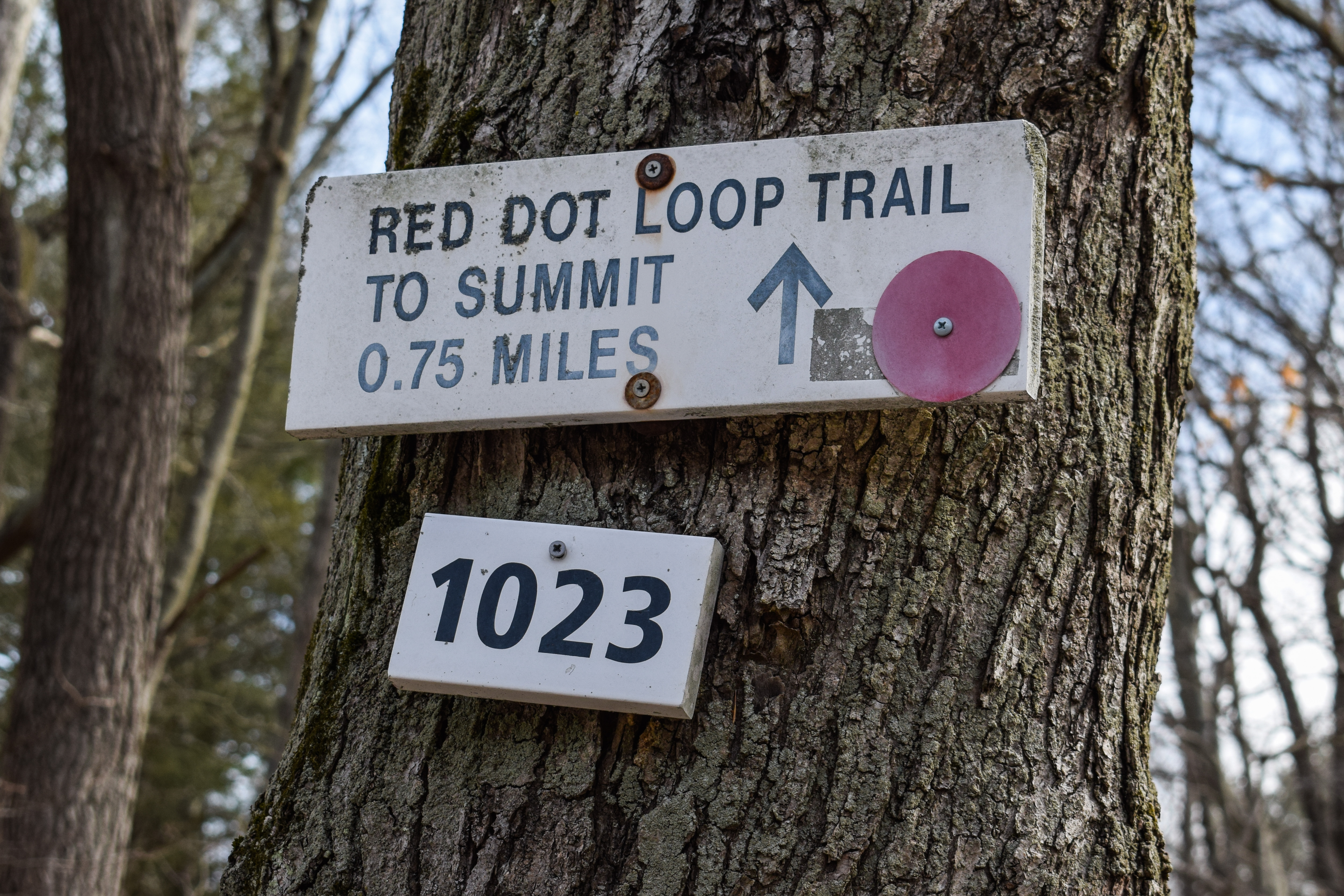
- Park at Buck Hill Path trailhead off of Chickatawbut Road.
- Start hike on Buck Hill Path.
- At 2164, turn right onto Headquarters Path.
- At 2153, continue straight onto Doe Hollow Path.
- At 2141, turn right onto Skyline Trail.
- At height-of-land, hike off trail to the summit of North Boyce Hill.
- Continue on Skyline Trail.
- At 2117, turn left onto Boyce Hill Trail. 
- Just below height-of-land, turn right into the thick underbrush and do your best to find the summit of South Boyce Hill.
- Return to trail.
- At terminus, turn right onto Massachuseuck Trail.
- At next junction, turn left onto Wintrop Path.
- At terminus, turn left onto Bugbee Path.
- At 2111, turn right onto Burnt Hill Path.
- At height-of-land, hike off-trail on left to high point of Burnt Hill.
- Return to trail, contineu along Burnt Hill Path.
- At 2092, turn left onto Angle Path.
- At next junction, turn left onto Bolton Foot Path.
- At terminus, turn right onto Doe Hollow Path.
- At 2132, turn left onto Beech Hollow Path.
- At 2135, turn right onto Bugbee Path.
- At second junction, turn left onto Fern Spring Foot Path.
- Follow Fern Spring Foot Path to summit of Buck Hill.
- From summit, travel East on Skyline Trail.
- Near 2165, turn left onto AMC Footpath.
- At 2182, turn left onto Buck Hill Path, return to car.


Friday, April 7, 2023

Trailside Museum to Buck Hill Loop (Blue Hills Reservation)

Trailside Museum to Buck Hill Loop (Blue Hills Reservation)

Hike Type: Figure 80 Loop
Distance: 8.28 miles
Elevation: 1870 feet
Time: 3 hours, 22 minutes 
Hiking Challenges: 52 Hike Challenge, Blue Hills 125 Mile Club, Blue Hills Grid, Great Blue Hill Summits


The Hike
I had Good Friday off and truly wasn't in the mood for a trail tracing hike, so I decided to hike one of my favorite "fitness hikes," and honestly just one of my favorite longer hikes in the reservation - a big loop from the Trailside Museum to Buck Hill and back. I first hiked this when I started getting back into hiking "post-pandemic" before my vacation to the Great Smoky Mountains, and I loved it for the views, decent mileage, and physical challenge (constant steep ups and downs). I had a late start for the day - around 11:30am, due to some digestional complications after consuming lasagna and cheesecake the night before... whoops! I was a little concerned when I got to the parking lot and saw it was already about halfway full, but I kept on keeping on, and had quite the cranky start to my day.

There were lots of people, dogs, and children here... apparently I wasn't the only one that had the day off! I definitely power hiked up Eliot Path to get ahead of the sea, which paid off, except my arches were BURNING. I really should remember to stretch/roll out of my feet sometime... I could't get over how many children there were... like great! Exercise! But I definitely picked the wrong date and time for this hike. I skipped the Eliot Tower and hit the summit before heading down the north branch of the Skyline Trail, where I watched a child have a full comical meltdown.

"The Meltdown" a script.
Child 1 (~6 years old): *lays down on the ground*
Child 2 (~4 years old): "Let's go"
Father: "He needs a break! Let us know when you're ready"
Child 1: *Twitches*
Child 2: "He's ready!"
Child 1: "NOOOO I AM NOTTTTT"
Father: "It's oka-"
Child 2: "Why is he like that?"
Father: "This is steep and he is tired."
Child 1: "I'M NOT REA- okay I'm ready now."
/scene.

After descending Great Blue Hill and caught up to a couple with what appeared to be his and hers hiking poles (pink for her and blue for him, naturally). I managed to keep pace with them at about a 50 foot distance, eventually passing them descending Hancock. My knees were starting to act up going up and down the steeps, which is something that hasn't happened this frequenty in a while... I guess I'm also doing longer and steeper hikes as of recent, so that could it? Not sure, but I'm trying to be more mindful to stop overworking them.


There were extremely gentle red/orange hues on the deciduous trees from the Hemenway Hill viewpoint, which just makes me excited for spring! Every few steps I'd be reminded that I will not be spending much alone time today, and these folks were not my usual friendly weekday people. No greetings, just silently hiking past each other. I also realized we were officially in warm back-water season, where my sweaty back warms up my water bladder. Lots of thoughts in my sweaty head!


Now on the Houghton's Pond Area side of the hike, I continued to follow the Skyline Trail up and over Tucker, North Boyce, and eventually Buck Hills. I trailed a couple of teens hiking in jeans, and was able to pass them coming down the steeps of Tucker. I was equally shocked and delighted to see that there was nobody on or around Buck Hill! The only other person was someone off-trail with a camping chair and his dog enjoying the spring sun - I was shocked and delighted! It was so nice to finally be alone for a while. 


My solitude continued down Buck Hill and along the red-dot route. The wind started to pick up now that I was past the halfway point, and the partially cloudy skies became a full, thin overcast. There was some maintenance work going on at Breeze Hill (looked like mostly leaf-blowing the gravel piles), which created a not too glamorous sound in the surrounding areas. I made my way to Houghton's Pond and picked up a couple of trails that I forgot about on my last hike, but quickly got out of there as the wind continued to pick up and blow me around. 


Now on my final leg of the hike, I started my slog up Houghton Hill, where there were lovely patche of Lesser Periwinkle at the base of some of the trees (a lovely, small, purple flower, that is apparently sometimes known as "myrtle" or "creeping myrtle," and is an invasive plant to the U.S.). My legs and lungs were starting to act up, but I took the climb slow and steady. It was pretty steady going from Houghton Hill onward, but there was a strong smell of smoke coming from the higher bumps along the trail. I never found the source of the fire, which is good, and I haven't heard any updates, so maybe it was just someone's fireplace?


I passed a couple horses (well, they passed me) who were on the Five Corners Path, and around Great Blue Hill I finally found all the people again. Thankfully, not too many were on the South Skyline Trail, so I was able to suffer in peace. It was WINDY up on top of Great Blue Hill, like, impressively windy. The little gizmos on top of the weather station were HOWLING. I was feeling curious (and antisocial), so I tried taking the ski slopes down, and it was a great choice! I followed the westernmost trail, and there was actually a trail on the side I was able to follow. There was a steep headwalk I had to inch down, and the headwall led to the view spur off the Eliot Path. The wind was whipping, so I dipped back into the woods and followed the Eliot Path all the way back down.


It wasn't my ideal relaxing hike in the wood, but it was a great hike with great views and a great workout. Here's to a great nap!

Step-By-Step
- Park at Ski Area parking area and hike up Eliot Path (red dots).
- Summit Great Blue Hill, then go to North Skyline Trail.
- Descend via North Skyline Trail, and follow N. Skyline Trail to Hillside St.
- Cross Hillside St, continue along Skyline Trail.
- Summit Buck Hill.
- Descend via Skyline Trail, then turn right at 2210 (red dots).
- Follow red dots to 2053.
- At 2053, hike to Houghton's Pond parking area.
- Cross Hillside St., walk to South Skyline Trail.
- Hike South Skyline Trail to 1066.
- Summit Great Blue Hill.
- Follow trail to Ski Area, turn right to follow ski slope down.
- After headwall, turn right to return into woods.
- Turn left onto Eliot Path, follow to car.