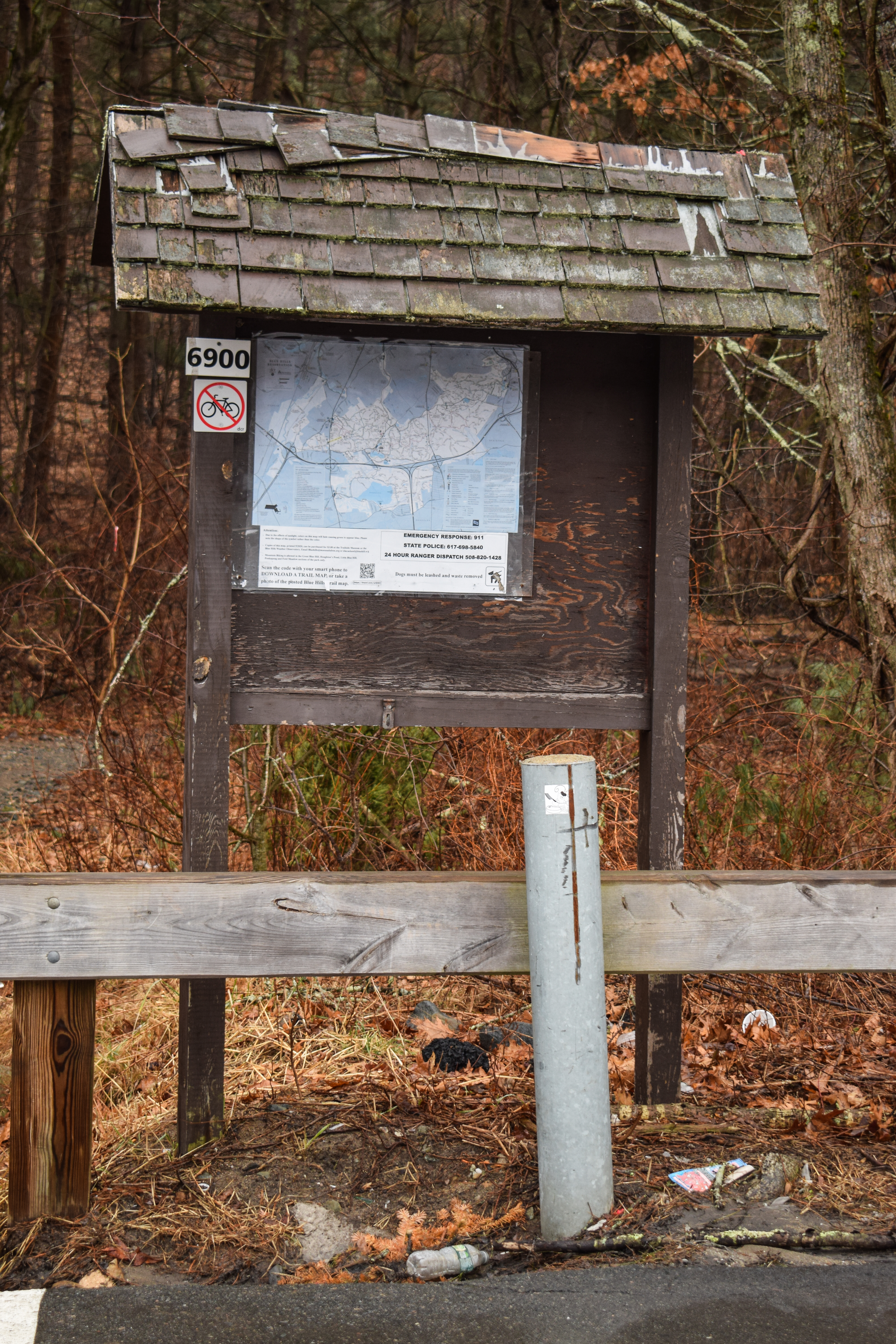
Ponkapoag East, Hemlock Road, AMC Cabins (Blue Hills Reservation)
Hike Type: Spaghetti Loop
Distance: 10.36 miles
Elevation: 532 feet
Time: 3 hours, 23 minutes
Hiking Challenges: 52 Hike Challenge, Blue Hills Winter Trace
The Hike
COVID Chronicles: Episode 4!
I was feeling the same level of blegh as yesterday, but overall being outside and moving felt better than rotting into the couch, so off I went! The big goal for the day was to get Ponkapoag East plus some leftover trails on the southeast side of the main Ponkapoag Pond area... which was apparently longer than I had previously thought. Whoops! Temps were in the mid-30s, it was cloudy and raw outside, I was the only person in the parking lot at Donovan Elementary, and into the woods I went!
Right away I reminded about the heavy horse activty over here which is... fine. I know the trails are meant to be shared by all, but jeeze... If anything my mind stayed sharp dodging the massive piles of fresh excriment. The trail to Fawn Circle was recently brushed, which was visually nice but I read somewhere that it contributes to erosion because it basically creates a channel for water to rush down?
The loopty-loop area on the west side of Meadow Road was pretty and very muddy. The usually dried swamps were full ponds after the recent rain, but thankfully they stayed within their banks. There were "no bike" signs at all the entrances to this area, but it was clear the mountain bikers have been around, which is frustrating.
Next up was the dreaded Pasture Road section, which truly is just brutal, between the poop and the mud. I hiked the Pequimmit Trail out-and-back and then went in for the last round of loopty-loops. There was one duck-under blowdown right before the terminus of Pasture Road, and I did get stuck behind a couple of horses on my way out. I didn't want to keep my slow pace or worse, try to pass them, so I took the Pequimmit Trail again to make my way over to the Horse Bridge.
The Pipe Line south of the Horse Bridge was surpringly lovely, with wetlands on either side but a very dry, not-overgrown trail. It seemed like there was less graffiti on the bridge than usual (I truly think it would be fine to treat the bridge like the Quarries where graffiti is basically allowed, as long as it doesn't get on any natural beings (i.e., trees).
I miss hiking in mountains.
Now on the eastern side of the main Ponkapoag Pond area, I worked my way to the end of Hemlock Road, which also had its fair share of muddy spots. The trail terminates just before a road at what appears to be a pump house. The Pipe Line leading toward the green dot route was dreadfully wet, but needed to be done!
The areas by the cabins were actually lovely - and the cabins were more or less occupied which was fun! Many fireplace fires, which smelled lovely. The views of Ponkapoag were lovely, but I was starting to feel very tired, especially brain tired. I was feeling ready to put a bow on the Winter Trace.
Okay, with the Cabins done and my body shutting down, the reasonable next step would be to go home - but not for me, who wanted his patch! The only thing that kept me going was that the rest of my hike would be relatively low-brain. I crossed the Horse Bridge and turned sharply left onto the Wannamanhut Path, where I passed two guys Civilized Hiking with Budweisers (little strange, but truly who am I to judge?).
I crossed over to Middle Road, where I yet again thought "I want to explore over here..." but again, eyes were on the prize (sitting down and a patch). From Middle Road, I followed the unmapped path to the Smith Trail, where I found the "chubby old man of the mountain" toward the end. I love that even though this was the third time I've hiked all the trails, I'm still noticing/realizing new things.
Finally back at the Pipe Line, I was immediately greeted by a recently deceased rabbit... yikes. And soon enough, I was on the return schlep! I was very happy to make it back to my car, take off my shoes, lament at the blister that was now on my foot (have I mentioned that I really need to get uninsulated boots?), and worked my way home.
Step-By-Step
- Park at Donovan Elementary School in Randolph.
- Enter woods, turn left onto Meadow Road.
- Hike spur on left, continue on Meadow Road.
- At 5420, turn around, and then turn left onto unmapped trail.
- At terminus, turn left onto path.
- At Reed Street, turn around.
- At next junction, turn left onto path that connects to Fawn Circle.
- At someone's back yard, turn around.
- At same junction, turn left to continue on path.
- On left, hike network of trails including Summer, Cranberry, and Coolidge (current and former maps disagree on what's actually over here).
- Continue left on Meadow Road.
- At 5414, turn right onto Pasture Road.
- At 5423, turn left onto Pequimmit Trail.
- At 5421, turn around.
- At 5423, turn left onto Pasture Road.
- At 5424, turn right onto footpath.
- At terminus, turn right onto wider path.
- Follow path around to Pasture Road junction.
- At Pasture Road, turn right.
- At next junction, veer left/straight to continue on Pasture Road (now footpath).
- At 5440, turn around.
- At same junction, turn left to continue on path.
- At next junction, turn right onto footpath (repeat).
- At next junction, turn right onto wider path (repeat).
- At junction with Pasture Road, turn left.
- At 5423, turn right on Pequimmit Trail.
- At 5421, turn left onto Pipe Line.
- At 5413, continue straight on Pipe Line.
- At terminus, turn around.
- At 5413, turn left onto Randolph Path (Horse Bridge).
- At 5401, hike triangle that makes up Vose Path.
- Hike south to complete Hemlock Road.
- At Turner Road, turn around.
- At 5395, turn right to hike Pipe Line.
- At terminus, turn around.
- At 5395, continue straight onto Pipe Line (some maps have it labeled as Acton Path).
- At 5335, turn left onto path.
- At terminus, turn sharply right onto Acton Path (green dots).
- Continue to follow green dots.
- At 5332, turn left to hike trails around AMC Cabins.
- Once complete, travel to 5361, and turn onto Ponkapoag Path.
- At first junction, veer right.
- At second junction soon after, turn sharply right onto Randolph Path.
- At 5360, turn right to follow green dots.
- Hike both driveway spurs on left.
- At 5361, turn right onto Ponkapoag Path.
- At first junction, turn right.
- At second junction, continue straight onto Randolph Path.
- Follow Randolph Path to 5413.
- At 5413, turn sharply left onto Wannamanhut Path.
- At next junction, turn left onto Middle Road.
- At MA-24, turn around.
- Cross Pipe Line, continue on Middle Road at 5422.
- At terminus at Middle Street, cross pavement, and continue onto unmapped trail.
- At terminus, turn right onto Smith Trail.
- At terminus, turn around.
- At 5425, turn right onto Pipe Line.
- At terminus, turn around.
- Follow Pipe Line.
- At 5413, turn left onto Meadow Road.
- Follow Meadow Road to car.