Braintree Pass, Savoy, Streamside Edge, Branch Paths (Blue Hills Reservation)
Hike Type: Tracing Loop
Distance: 5.06 miles
Elevation: 581 feet
Time: 1 hours, 45 minutes
Hiking Challenges: Trail Trace the Blue Hills
Hiking Challenges: Trail Trace the Blue Hills
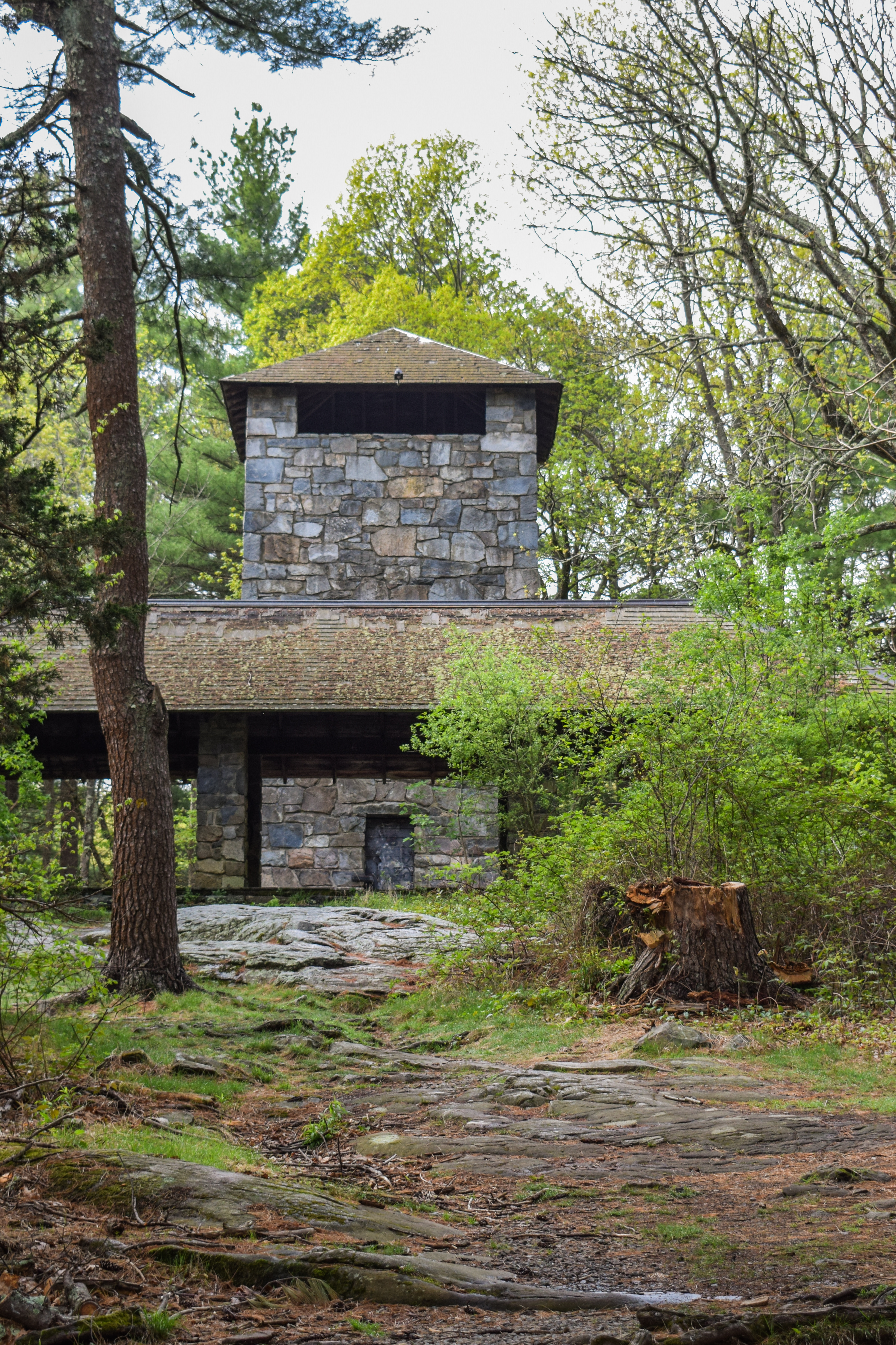
The Hike
First hike in a while! At least in a while for me! After my busy week last week, I had Boston Pride Weekend, which is a hike in itself, and then I managed to get sick for the 1,000th time in 2025! (I had a tonsil stone that I apparently dug out too aggressively and subsequently infected my throat and then my ear... ridiculous). It was a humid 70 degrees and the trailhead was unfortuantely pretty full for 8:00am. I wasn't feeling 100%, but I wanted to do the best I could! My goal was to hit most, if not all the trails I needed to finish the Chickatawbut section.

I started by passing a super nice older man on the Braintree Pass Path, which was super lush with vegetation. I saw a dog poop covered in a fuzzy fungus as I made my way over to Bouncing Brook Path, making my way to the back half of Pipe Line, which was uncomfortably (but expectedly) grassy. There was also an impressive number of ant hills on the Pipe Line, which was interesting.

Continuing on Hawk Hill Path heading toward Streamside Edge Path, I saw what I'm pretty sure was a pile of bear poop! I didn't know we had bears here, but I do remember when Sarah and I hiked Wood/Romari Paths I saw some scrapes on a tree that also looked bear-related... interesting!

Streamside Edge Path was not too wonderful. The closer I hiked toward I-93 the buggier and more overgrown the trail became, but at least I finished it! I described it in my notes as "remarkably unpleasant." Only plus side was that I saw my first ghost pipe of the year!

Once I closed the Streamside Edge/Branch loop I decided I'd start my return trip, leaving only one hike left in this section to close it out for my map. My return trip was nice and easy, and the sun even started to come out! Near the very end, I did almost get stampeeded by a running club, but thanfkully I escaped the hike un-trambled and with zero ticks!

Step-by-Step
- Start hike from Braintree Pass Path Trailhead.
- Follow Braintree Pass Path.
- After 3042, turn right onto Bouncing Brook Path.
- At MA-28, turn around.
- At 3011, turn left onto Pipe Line.
- At 3013, turn around.
- At MA-28, turn around.
- At 3005, turn right onto Hawk Hill Path.
- Immediately after, turn right again onto Pakomet Path.
- At terminus, turn right onto Savoy Path.
- At MA-28, turn around.
- At 3030, turn left onto Hawk Hill Path.
- At Pakomet Path, turn around.
- At 3072, turn right onto Streamside Edge Path.
- At terminus, turn left onto Branch Path.
- At 3066, continue right onto Streamside Edge Path.
- At 3072, continue straight onto Braintree Pass Path.
- Follow Braintree Pass Path back to car.