Pitcher Mountain Fire Tower (2x) (Andorra Forest)
Hike Type: Figure-8-ish Loop
Distance: 1.96 miles
Elevation: 505 feet
Time: 1 hour, 11 minutes (57 minutes moving)
Hiking Challenges: 52 Hike Challenge; New Hampshire Fire Tower Quest
Hiking Challenges: 52 Hike Challenge; New Hampshire Fire Tower Quest
The Hike
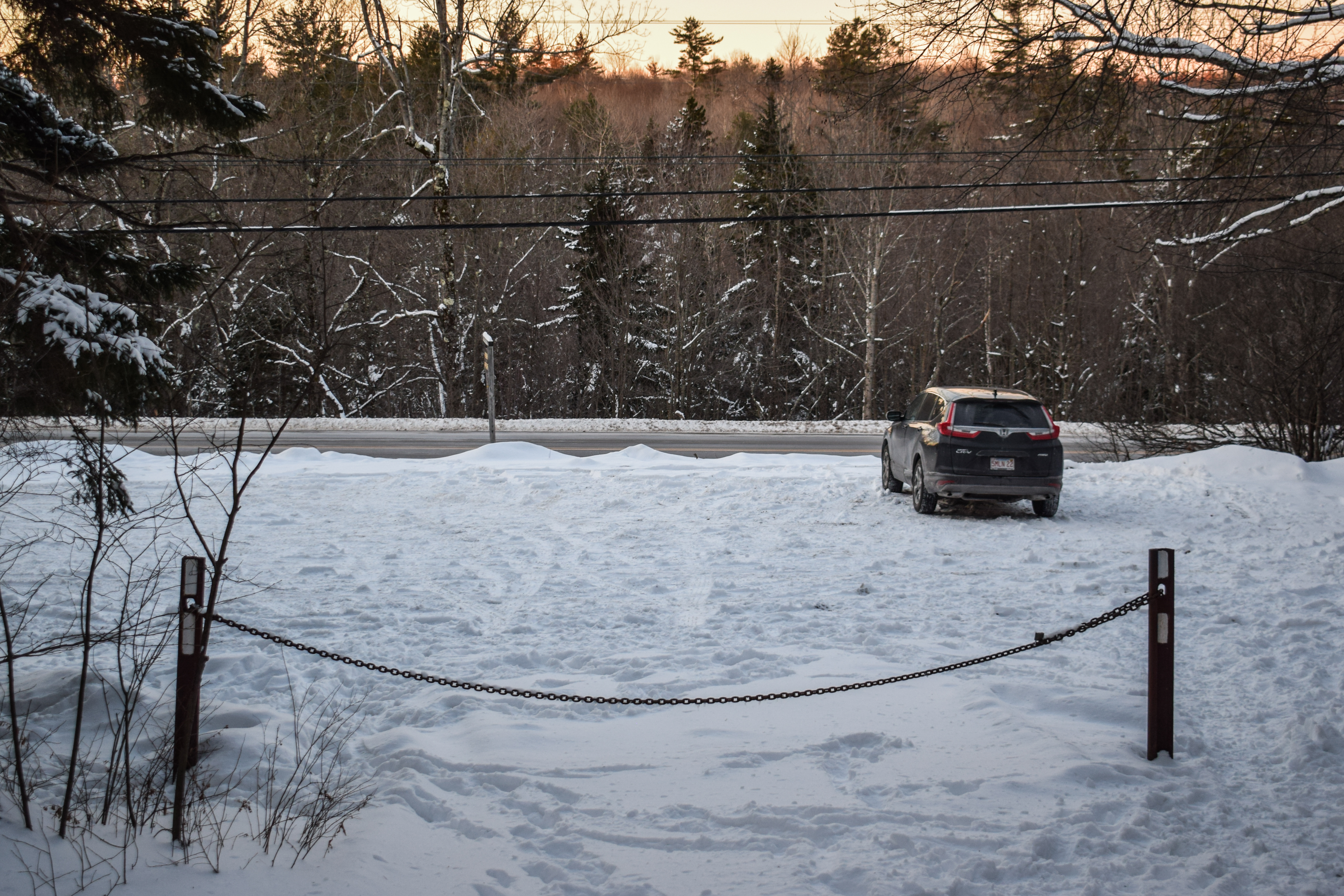
After a delightfully shocking full and restful night's sleep, I was out the door again just before 4:00am to do a sunrise hike and some more skiing! I was aiming for Pitcher Mountain in Stoddard, NH - a super short hike that I could decide to do fully in the dark or do a couple of times. The forecast was COLD but no wind, so I was excited! My journey started by driving under a new chunk of overpass on I-95 followed by a long drive up US-3, past the ditch I flew into, and then onto a long series of winding roads. The coldest temperature my car registered on the drive was -10, but I was delighted to see it was only -4 at the trailhead! The sky was crystal clear and the air was still. I was nervous about having to use the bathroom in this cold, but no better time to start than the present!

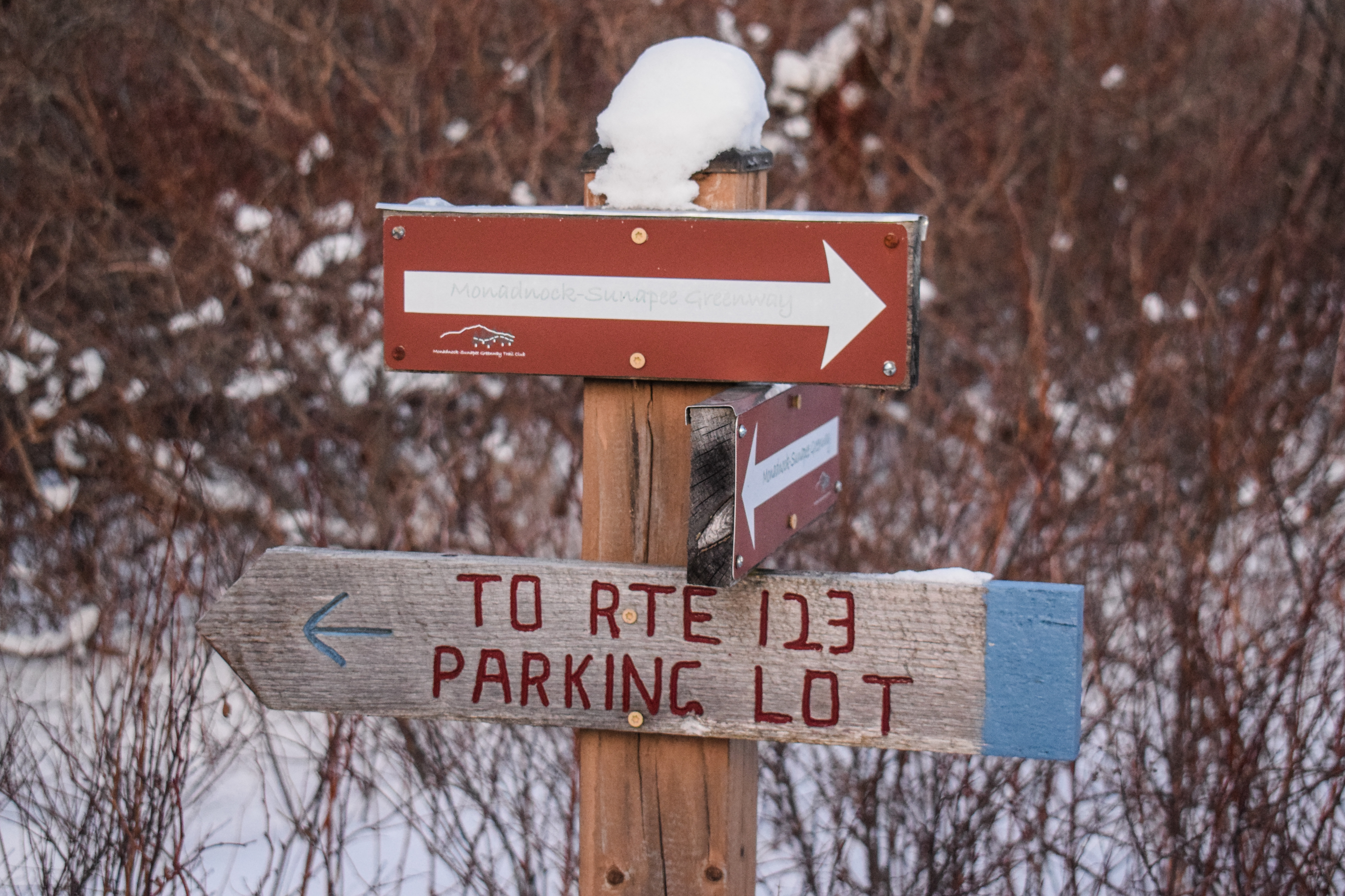
I accidentally started hiking on a woods road that seemed to be loosely used for showshoeing and x-country skiing. I did my best to follow the snowshoe tracks in my spikes, and I was mostly successful! It would have been better on my feet (and for the tracks) if I used snowshoes, but I wasn't post-holing at least. Once I realized I was not actually on the planned trail, I checked AllTrails and realized I could keep following this road and hit up the Monadnock-Sunapee Greenway a bit further up, which would also add some distance to this super short hike (the actual loop is 0.6 miles round trip).
After 10 minutes of hiking I took both of my puffy jackets off and continued my trek through the super sparkly snow. It was so delightfully quiet in these woods. Soon enough, I turned into thicker woods on the white-blazed Monadnock-Sunapee Greenway trail. The woods were beautiful, only illuminated by my headlamp. This trail was less-traveled, and snowshoes would have definitely been helpful here.

Not long after, the trail "breaks tree line" in the same style as Buck Hill in the Blue Hills, revealing dimly-lit hills to the west and north, which were mesmerizing. As I gained the last bit of elevation, I crossed the terminus of the Blue Trail, crossed many snowshoe hare tracks, and saw an incredibly intense red/orange glow on the eastern horizon. I had never seen a glow so bright before (I probably had, but this one felt more intense than usual).

At the top, I climbed the small fire tower and admired the views in all directions. To the south was Mt. Monadnock, which was fun to see from a different vantage point. To the west and north were many, MANY ski mountains, including Mt. Snow, Stratton Mountain, Bromley Mountain, and all the way up to Killington. I think I could also make out the landmass of Magic Mountain, but I don't think the trails were visible from here.

Instead of sticking around, I decided I'd continue on the Monadnock-Sunapee Greenway to descend and maybe come up again on the Blue Trail. The trail passed what I guess is an old warden's cabin, some control equpiment, and then comes to an beautiful, open field with another view toward Mt. Monadnock. The trail descends briefly, turns to a flat section, and then before I knew it I was back near the parking lot! This descent was comically fast, so I decided I would head back up the Blue Trail.

The Blue Trail was right to the point - up the mountain! At only 0.2 miles, it packed a fairly reasonable punch. It was also less-traveled, but not as bad at the northern part of the Monadnock-Sunapee Greenway. It was bright enough were I didn't need my headlamp anymore, and soon enough I was back up top! It was much brighter now, and felt like a whole new world - even like a whole new summit, which was really fun. I got a few more photos and then headed back down again. I could have stayed another 10 minutes to watch the actual sunrise, but I was chilly, sweaty, covered in ice, and did not have any hot chocolate. Down I went!

I know I've said it before, but I love starting some ski days with a sunrise hike! The rest of my drive was absolutely beautiful through the winding hills of New Hampshire and Vermont.
Step-by-Step
- Park at Pitcher Mountain Fire Tower trailhead.
- Start hike on woods road in north corner of parking lot.
- At jct., turn right onto white-blazed Monadnock-Sunapee Greenway.
- Summit Pitcher Mountain.
- Continue on Monadnock-Sunapee Greenway.
- Before parking lot, turn right onto Blue Trail.
- Summit Pitcher Mountain.
- Continue and descend on Monadnock-Sunapee Greenway to car.

"Pitcher Mtn. (2,163 ft.)" from Southern New Hampshire Trail Guide, 5th Ed. (2021)
This small mountain in the town of Stoddard has an open summit and a fire tower that offers fine views in all directions for little effort. The peak is also an excellent choice for sunrises and sunsets. Refer to the USGS Marlow quadrangle and the Monadnock-Sunapee Greenway map. The parking lot is on the northeast side of NH 123, 4.5 mi. north of its junction with NH 9 and 3.1 mi. south of its junction with NH 10.
"Pitcher Mtn. Trails" from Southern New Hampshire Trail Guide, 5th Ed. (2021)
About 70 yd. above the parking area, two hiking trails divide; the left hand trail (blue blazes) is the shorter, steeper path, while the right-hand trail (white blazes) is the less steep Monadnock-Sunapee Greenway, which follows the fire tower access road. The two trails rejoin about 70 yd. north of the summit.
"Andorra Forest" from Trailhead Kiosk
Welcome! A privately-owned property, Andorra Forest is managed for timber, wild blueberry fields, recreation, wildlife habitat, and wilderness preservation. A conservation easement protects the land from development, ensuring that its scenic and undeveloped state will be maintained. Andorra Forest opens most of the trails, roads, and lands to the public for hiking, snowshoeing, cross-country skiing, bicycling, berry picking, fishing, hunting, science education and research. Please respect signs that may restrict certain uses in parts of the property. Snowmobiles are allowed only on designated trails; other motorized recreational vehicles are not permitted on Andorra Forest. Please help us protect and conserve Andorra Forest's land and biodiversity by minimizing disturbance to soils, plants, and wildlife and by carrying out your trash. Thank you.
"Welcome to Pitcher Mountain" from Trailhead Kiosk
This short hike up Pitcher Mountain (elevation 2153 feet) offers panoramic views ranging into Massachusetts, Vermont, and the southern White Mountains region. Enjoy!
The Fire Tower: This local landmark, the Pitcher Mountain Fire Tower, was first built in 1915 at a total cost of $616.39. The original structure consisted of an open wooden platform supported by poles. This was replaced in 1925 by a 25-foot steel tower with an enclosed 10x10 foot observation room. In April of 1941, the great Marlow/Stoddard forest fire destroyed all wooden structes on top of Pitcher Mountain. The State rebuilt the tower room almost immediately on the same steel base. Today, the tower is still manned on Class 3 or higher fire danger days by State employees. The Pitcher Mountain Fire Tower provides the perfect observation outlook to protect the Southwestern corner of the State.
The Andorra Forest: The 11,600 acres of Andorra Forest are owned by the Faulkner family, and are under a conservation easement that protects the land and forest for all to enjoy. The fields on the ridges of Pitcher Mountain and Hubbard Hill are kept open for the shrub environment, the views, and the old time fun of picking wild blueberries. Looking from the top of Pitcher Mountain, you see below the fields of Pitcher Mountain Farm and perhaps some cattle grazing.
The Greenway Trail: The 48-mile hiking trail, the Monadnock-Sunapee Greenway Trail travels over seven miles through the Andorra Forest. The volunteers and trail adopters of the Monadnock-Sunapee Greenway Trail Club maintain the entire Greenway Trail. For more information visit msgtc.org.
"Andorra Forest" from www.philanthropyroundtable.org
Jim and Mary Faulkner began purchasing timberlands in New Hampshire in 1937, and over time assembled what is now the Andorra Forest—11,500 acres strong, and productively used and enjoyed in many ways. Several generations of the Faulkner family have now managed the property as a sustainable “tree farm,” aiming to maximize four benefits of the land according to the longstanding Tree Farm System: wood production, water quality, recreation, and wildlife.
Agriculture that ended in the late-1800s and a forest fire that swept through in the 1940s created some small pastures within the forest where Highland beef cattle are raised, and open sections where 50 acres of wild highbush blueberries now grow. Controlled burns and brush hogging are used to keep the blueberries from being overgrown, and for a small fee the public is allowed to come in and pick the wild bushes in late summer.
For decades, the forest was mostly managed by weeding and thinning trees, but now that much of the timber is reaching maturity, sustainable silviculture practices are followed to harvest commercial hardwood and softwood lumber selectively every winter, when the ground is hard. Thinnings and canopy openings are also undertaken to encourage tree regeneration and wildlife habitat in particular areas.
The entire 11,500 acres is open to the public for recreational use. There is a nine-mile stretch of through-hiking trail crossing the property, plus many local trails used by showshoers, skiers, and walkers. Snowmobiling is the only motorized use allowed. Wildlife studies are conducted on the property in conjunction with partners like Antioch University and the Audubon Society.
In 1990 the family donated a conservation easement for the entire property to the Society for the Protection of New Hampshire Forests, making it one of the largest private forests in the eastern U.S. with such an easement. In 1991, the family designated 2,685 acres of the property as the Wildcat Hollow wilderness area, to preserve it (including the first known moose breeding grounds in southwestern New Hampshire) as animal habitat, managed on a “forever wild” basis.
No comments:
Post a Comment