Kidder Mountain via NH-123 (Wapack Trail)
Hike Type: Out-and-Back
Distance: 1.97 miles
Elevation: 807 feet
Time: 49 minutes
Hiking Challenges: Friends of the Wapack
Hiking Challenges: Friends of the Wapack
The Hike
I quickly made it to the familiar trailhead. Kidder Mountain Trail is tucked in a bit along the Wapack Trail, so I had some retracing to do, which I was not mad about. There was one other car in the parking lot, but it was just some guy smoking in his pickup truck. Since I was still in my same nasty clothes and shoes, I was right to work! The hike started along the Wapack Link, which initially descends to a muddy stretch, which featured some wild turkeys on this day! I forgot to start my watch until 0.1 miles in, which truly is not a problem, but still annoying. Oh well!

The Wapack Link climbs to the junction with the Wapack Trail, and then I turned left onto the Waack Trail, which led to a road grade that paralleled a recently logged area. It was getting warmer at this point in the day, a balmy 58 degrees, which is quite warm by "hiking in April" standards!
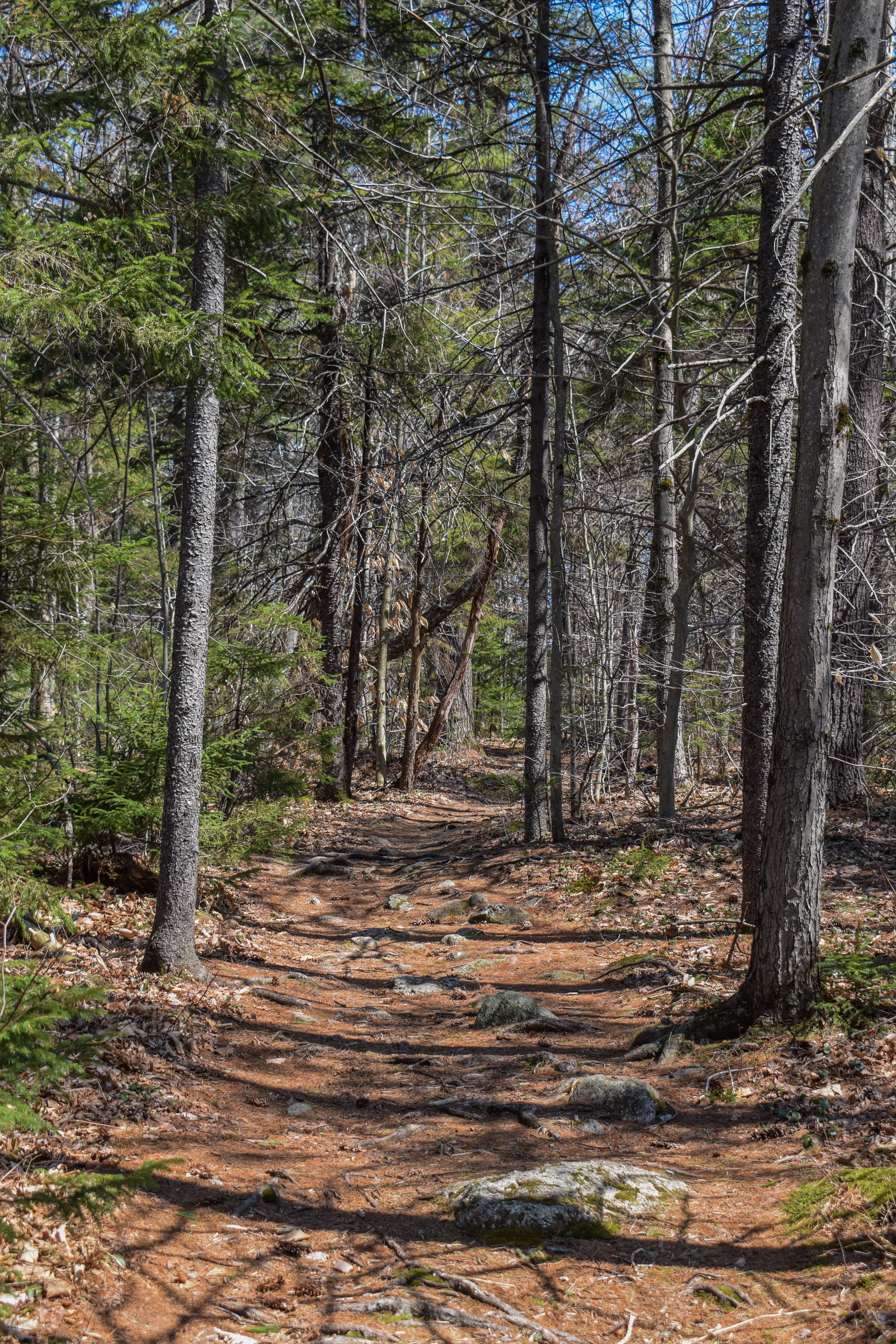


The trail in the woods was muddy but had a good amount of stepping stones. The woods proper were very nice, but there was evidence of messy logging, which was a bummer. I made my way over some unproblematic blowdowns and then climbed to a little plateau before climbing moderately again. The Kidder Mountain Trail crossed an older, unmarked trail, and climbed with bonier footing before reaching a VERY strange area...

I first noticed the Kidder Mountain Trail was paralleling what looked like a possibe ATV trail, and then I noticed some wooden pallets just off-trail. A few dozen feet further along, the Kidder Mountain Trail crossed this possible ATV trail, which was blocked off by two large, regal planters? The land was partially orange-fenced off, but not fully. It looked like someone cleared land and was maybe planning to build their grand castle? I'm likely being dramatic, but that's where my brain went!

The trail continued to climb at east, muddy grades before reaching the summit clearing, which was wonderful! There was some signage from snowmobile season pointing to the view. I could make out the lower Wapack Range and of course, Wachusett. From a different vantage point I could make out the Boston Skyline. At the true summit (at least what I think was the true summit), there was a cairn and shattered fragments of christmas ornament bulbs? Not sure what was happening there, but I'm guessing snowmobiles. After some wandering, I started my descent, and found the summit sign, which was mostly hidden on a nearby tree!


My return trip was uneventful, minus coming across a grouse. My fingers were in their full sasuage form by now, and near the VERY end I passed my first human of the day - a man in a button-down and khakis holding very large tools? I said the classic "hey, how's it going?" and he paused, started at me, and five seconds later made a sound. It was a bit odd, but I continued back to the car.

The guy in the truck was still there, on a presumably new cigarette now, and I decided to start my trip home so I could shower, eat, and get to bed early before tackling Monadnock tomorrow. Oh, and I realized, I just earned a new patch - yay!

Step-by-Step
- Park at Wapack Link Trailhead on NH-123.
- Start hike on Wapack Link.
- At jct., turn left onto Wapack Trail northbound.
- At jct., turn right onto Kidder Mtn. Trail.
- At summit, turn around and retrace steps to car.
No comments:
Post a Comment