Tuesday, January 23, 2024

Brookwood Farm Trails (2x) (Blue Hills Reservation)

Brookwood Farm Trails (2x) (Blue Hills Reservation)

Distance: 2.80 miles
Elevation: 62 feet
Time: 56 minutes
Hike Type: Messy Loop
Hiking Challenges: 52 Hike Challenge 2024; 125-Mile Club (2nd Time); Blue Hills Winter Trace


The Hike
I am still adjusting to hiking after school again - I made it to the trailhead with good timing, but had no pack or camera... and it was snowing. Oh well! Temperatures were in the upper 30s and the air was still - very peaceful, even with the roar of MA-138 and I-93 so close by. 


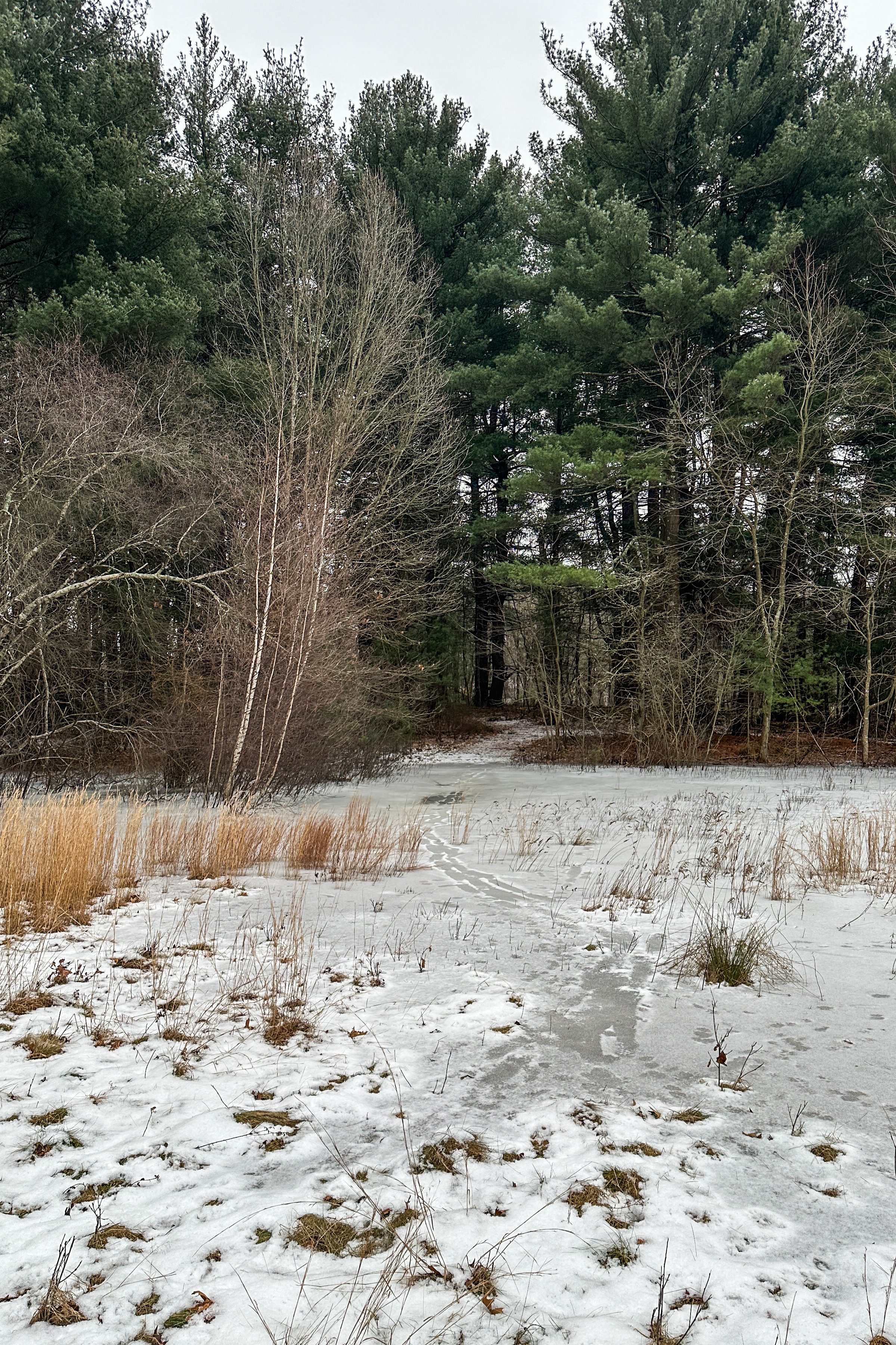
My plan to was to do a redlining loop twice in a row, since I needed these trails for both my 125-Mile Club and Winter Trace maps. I started by following the road toward 1057 and hiking the spur that leads off DCR property (and terminates at a gate at a woods road... spooky). This area was decently flooded and partially frozen, which took some creative bushwhacking through dense prickers to get out. 


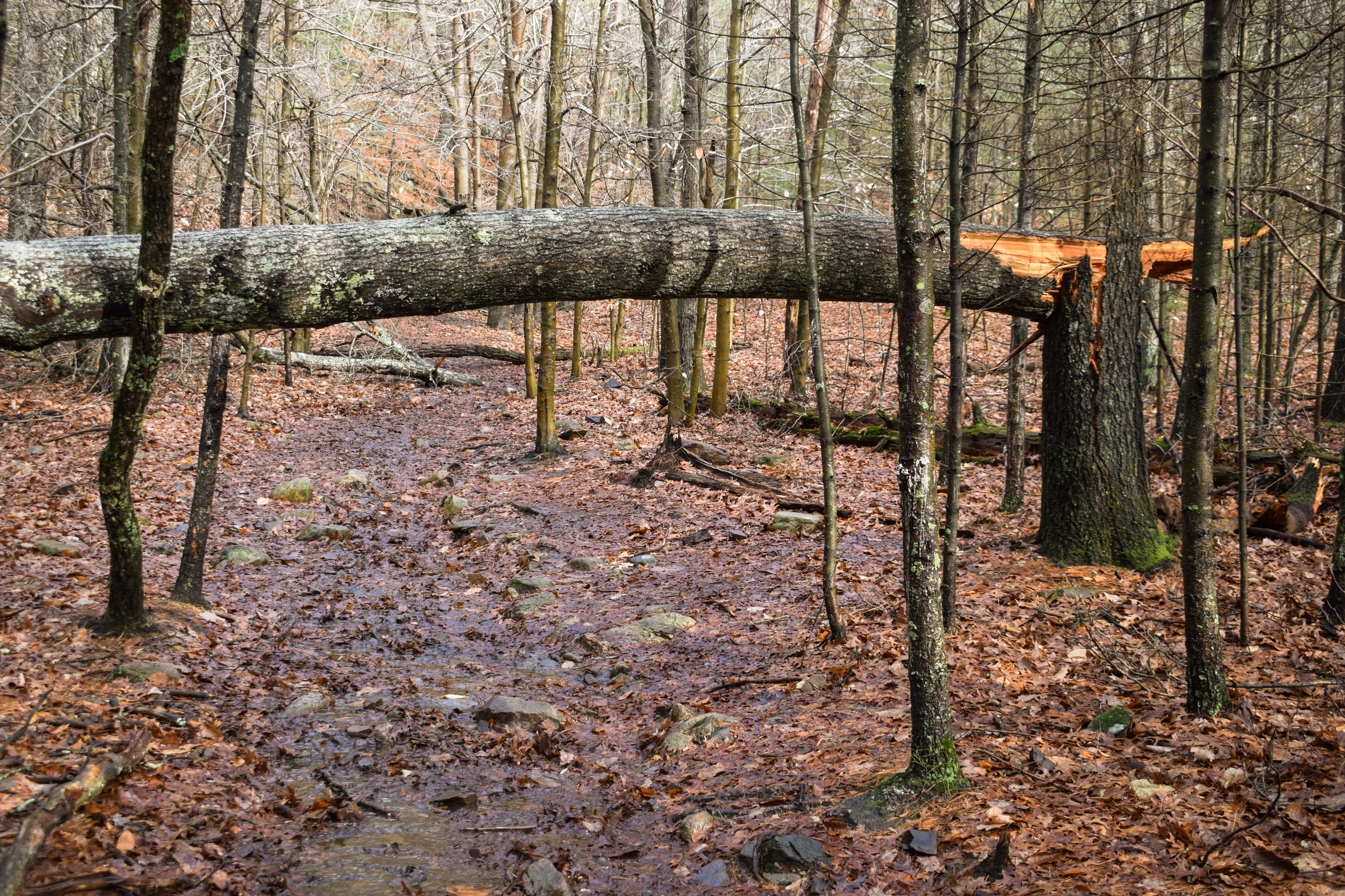
From there, I started on the loop, dodging prickers and dog poop. I turned left at 1079, maneuvered around some blowdowns, and then turned right at 1077 around the meadow. The trails over here are... weird. There were some side paths, but overall it felt rather abandoned and desolate. Back at 1079, I turned right, and then walked along the eastern road at 1077 to hit the unpaved connector path back toward the buildings.


The second lap felt mundane and tedious, but I was happy I was getting it done. I could help but imagine how tick-infested this area must be in the spring! I passed the only other person near 1079 on lap #2, and soon enough was back at the car. Not my favorite hike, but happy to have completed it!

Note: There is a kiosk with information about the area near the trailhead, but my phone didn't capture a sharp enough image to type it up here. Next time!


Step-by-Step
- Park at Brookwood Farm parking area.
- Walk toward 1057.
- Stay right on trail, hike to gate, turn around.
- Back at 1057, turn right onto trail.
- At 1079, turn left.
- At 1077, turn right.
- At 1079, turn right.
- At road, turn right.
- At unpaved path, turn left.
- Repeat!
- After hiking unpaved path the second time, return to car.

Sunday, January 21, 2024

Ponkapoag Boardwalk via Exit 3 (Blue Hills Reservation)

Ponkapoag Boardwalk via Exit 3 (Blue Hills Reservation)

Distance: 3.21 miles
Elevation: 108 feet
Time: 1 hour, 1 minute
Hike Type: Out-and-back
Hiking Challenges: 52 Hike Challenge 2024; 125-Mile Club (2nd Time); Blue Hills Winter Trace


The Hike
Operation Ponkapoag is officially in effect! It had been below freezing for over five days now and this was truly my only window to hit the boardwalk before things heated up again. I woke up northern Vermont, did a few runs at Jay Peak in the -14 degree windchill, had an early lunch and apres, and was on the road heading south by noon. I made it to Ponkapoag Trail just after 3:30am - perfect timing! It was 27 degrees out plus a light breeze. My bag only had a headlamp, spikes (my hillsounds, which I was mad about - I keep forgetting to bring my Kahtoolas, which have been downgraded to rock spikes), and half of a Gatorade. I am READY.

Along the Hogdon Foot Path.

My power hike began on the Ponkapoag Trail and then onto the Hogdon Foot Path, which had about an inch of snow. There were a few muddy spots which made me nervous, but there were even more icy spots, which made me excited. I turned onto the Redman Farm Path (which I hope was someone's last name and not a racial slur...), and then I arrived - the infamous Ponkapoag Boardwalk. Only god knows what's in store now.


The trail right away was frozen solid - excellent. Due to the high water table and the infrequent use of this trail, the surrounding bushes were just below head-hight, so there was a good amount of ducking involved in the first bit. I descended into the darkness (I believe the trees here are cedars? cedar swamp? or I made that up) to find more frozen trail and just beautiful surroundings. I love this trail so much. It kind of stinks how inaccessible it is, but I think that also adds to the allure. 


I went past scenic meadow #1 and scenic meadow #2 and then eventually saw the end of the boardwalk... shrounded in... water? Oh no. Thankfully, there was a human at the very end, and he had dry legs, implying that the final few boards would not sink into the pond. I gently hopped the last few boards, and I did it! I took a quick photo and quickly started my return trip... because I was going to do it again! 


At the time, I thought I would do it once for the 125-Mile Club map and a second for my AMC Blue Hills Winter Trace... but apparently I already did the winter trace portion last year... at least it was nice out (I also wouldn't realize this until I was home, whoops...). The second round felt a bit silly but I was just happy to be out on the trail. I passed the same human again and then saw a few more as I was leaving. There were some visible and audible cracks in the ice toward the end, so I was grateful to have made it when I did.


My spikes came off back at the trailhead and my heart was full! I made a gentle return trip, ran to the grocery store, bought a lasagna, and had a lovely, relaxing end to my weekend.


Step-By-Step
- Start hike on Ponkapoag Trail off of Exit 3.
- At 5320, turn right onto Hogdon Foot Path.
- At 5218 (terminus), turn right onto Redman Farm Path.
- At 5176, turn left onto path toward boardwalk.
- At boardwalk, turn left onto Ponkapoag Boardwalk.
- Hike Boardwalk out-and-back twice.
- Retrace steps to car.

Saturday, January 20, 2024

Jay Peak Resort

Another ski post? Seems like it! Had my first ski day of the season on January 21st and it went... not as planned. Emma and I got to Jay around 11:00am on Saturday 1/20, I redeemed my Indy for the day, but the ticket guy said the internet was being weird so the pass might not work, and just to come back if it didn't work. Emma dropped me at the lodge so she could get her stuff from the patrol office, and then after 10ish minutes I got a text saying that apparently the mountain lost power and ski patrol might need her to assist in lift evacuations... yikes. Thankfully the lifts were able to offload with diesel engines and Emma was set free after about a half hour, but she said it wasn't looking good and we could cut our losses for the day. We ended up going to a nearby winery and had a great day - but I was going to ski tomorrow so help me god!

Then "tomorrow" rolls around, we get to the mountain promptly at 8:00am (my goal was to be driving home by noon) and it is COLD. The drive was slippery (so bad at the top of the mountain road there was a U-Haul dangling off the side of the road...), but the sun was trying to peek through. I drop my stuff inside and go down to the ticket window - they said if you skied yesterday you'll get a free pass for another day. While I'm waiting in a VERY slow line, Emma says something along the lines of "what if... we don't redeem your pass for today and drive to the Village Chair, ski for free, and then see how it goes" - works for me! We had grand plans of getting me to the top of the Bonnie, but the weekend had other plans in store. We did five runs up the Village Chair and down Raccoon Run and Grammy Jay, and after the fifth we were FROZEN. We SPRINTED to the car to change and warm up - 4 out of my 10 toes were fully numb. I checked the weather back at the car and it said the windchill was -15 degree, which definitely added up! We packed up and headed to the Jay Village Inn for brunch, which was a lovely reward. Hopefully next time I'll make some actual progress!

Some stats...
Distance: 2.64 miles
Time: 13 minutes, 23 seconds
Total Descent: 1,936 feet
Max Speed: 25.6 mph
Number of Runs: 5

Monday, January 15, 2024

Hancock, Wolcott, & Hemenway Hills (Blue Hills Reservation)

Hancock, Wolcott, & Hemenway Hills (Blue Hills Reservation)

Distance: 3.47 miles
Elevation: 594 feet
Time: 1 hour, 51 minutes (1 hour, 18 minutes moving)
Hike Type: Lollipop Loop w/ Spur
Hiking Challenges: 52 Hike Challenge 2024; Sunrise Six

The Hike
Time for my first sunrise hike in a long time! Thankfully this time of year the sun doesn't rise until after 7:00am, so I actually got to sleep in! It was 22 degrees at the Hancock Trail trialhead with no wind and a dusting of snow. I put my headlamp on and got right to work.


I climbed the steep trail up the north side of the trailhead and then jumped onto Breakneck Ledge Path and then Circle Trail, both of which had a mixture of light snow, ice, and running water. I was thankfully much warmer than anticipated and was able to shed a couple layers down to my base layer. I turned onto the Skyline Trail and then the Hancock Trail until I made it to the stunning overlook of Boston, the Blue Hills, and the ocean.


I took out my Yeti filled with hot chocolate only to find out that my Yeti works a little too well - it was WAY too hot! I wish I had brought my camp cup - next time. I ended up pouring small bits of hot coco into the lid and sipping out of that, which worked! Hot chocolate on a cold hike is truly the best thing there is. It was so peaceful sitting up here without another soul around..... until I noticed some smoke coming from the Milton side of the park, followed by darker smoke, followed by fire! Apparently there was a pretty intense house fire just before sunrise (LINK TO ARTICLE).


I was starting to feel a little chilly around 7:00pm, and then I got to admire the sun rising above the clouds at 7:11pm. It was fun watching the surroundings light up, but the sun stayed behind the clouds for a while - the house fire was much more insteresting to watch - multiple firetrucks were there and a helicopter. 


After the sun was up the temperature was down to 21 degrees with a light wind, that would put the windchill into the teens. Once the sun was firmly up and behind a cloud I continued my journey. I wasn't really sure where I wanted to hike or how much I wanted to hike, but I was very grateful that I'm so familiar with the trails here that I don't really need a plan!


I ended up backtracking to the Skyline Trail and then the Hancock Hill Path (very flooded) to the Wolcott Path, where the sun began to shine over the clouds and on to the treetops - a truly beautiful golden light. I decided I'd make my way to Hemenway Hill to catch the view of Great Blue Hill in golden hour.... until I realized I accidentally skipped it and was suddenly on top of Wolcott Hill! I pivoted the plan again, and wiggled my way into Wildcat Notch and then over to the Hemenway Hill Path, and the extra climb was definitely worth it!


After Hemenway Hill I began to make my way back via the Breakneck Ledge Path, all while admiring the endless needle ice on the ground. My tummy began to act up at the end, which was the perfect timing, and I realized this may have been the first time I've hiked in the Blue Hills and never passed another human - what a great morning!


Step-By-Step
- Park at Hancock Trail parking.
- Start hike on trail to 1203.
- At 1203, continue onto Breakneck Ledge Path.
- At 1180, turn left onto Circle Trail.
- At 1170, turn left onto Skyline Trail.
- At top of the climb, turn left onto Hancock Trail.
- Stop and enjoy sunrise at view.
- Turn around.
- Turn left to continue on Skyline Trail.
- At 1172, turn right onto Hancock Hill Path.
- At 1160, turn right onto Wolcott Path.
- At 1141, turn left onto Skyline Trail.
- At 1117, turn right onto Dalton Path.
- At terminus, turn right onto Wildcat Notch Path.
- At 1115, turn right onto Wolcott Path.
- At 1122, turn left onto Rotch Path.
- At 1121, turn right onto Hemenway Hill Path.
- At 1154, turn right toward 1150.
- At 1150, turn left onto Skyline Trail.
- At 1162, turn left onto Breakneck Ledge Path.
- At 1180, retrace steps to car.


Saturday, January 13, 2024

Skyline Loop via Trailside Museum w/ Summit Road (Blue Hills Reservation)

Skyline Loop via Trailside Museum w/ Summit Road (Blue Hills Reservation)

Distance: 5.11 miles
Elevation: 1,224 feet
Time: 2 hours
Hike Type: Figure 8-ish Loop
Hiking Challenges: 52 Hike Challenge 2024; Great Blue Hill Summits, Blue Hills Grid


The Hike
I was out until 1:00am last night, and it had been raining all day, but I was itching to get back to the Blue Hills. Once afternoon hit, I put on shorts and a tshirt, drove to the trailside museum, enjoyed the 55-degree weather (even though it's unsettling for it to be so warm in January), and started on my favorite fitness hike! Right away I knew it was going to be an adventure - the trailhead was basically a cascading waterfall over the stone steps... here we go!


There were some newly painted red blazes on the Eliot Path up to Great Blue Hill, and I was essentially hiking through a river the whole time, which reminded me that I really need to get some insulated waterproof boots. The slight dip before the Summit Road crossing was truly a raging river, which I had never seen before - not even during spring runoff!


I continued my way to the summit of Great Blue Hill and I was feeling weidly strong all things considered (i.e., mild hangover). There was on and off rain BUT the sun was trying to peek through! I went over to the viewpoint on the Skyline Trail to get a photo of the cloudy views, and then continued the classic loop, taking Skyline Trail North first. 


It was very windy out but it was WARM. It never broke 60 degrees, but it sure felt amazing. The sun felt incredible. There were a few new blowdowns after Times Square (1141) and my legs were starting to feel a slight fatigue going up Hemenway Hill, but I was still feeling good (shockingly). I made it to Hancock Hill, and starting passing the weekend afternoon folks who were, as usual, not very friendly.


I noticed the "Blue Hills Reservation" sign was gone down on Hillside Street - maybe caught by the crazy wind a few days ago? I wasn't able to find any info on it, but it definitely looked like the wind took it! I was starting to feel sleepy on the road walk, but quickly woke up when it was time to slog up Houghton Hill, through another stream. I will say though, I made it all the way to the top without stopping, which is monumental compared to how this stretch used to absolutely murder me (I will say, my max heart rate was 186, so I wasn't feeling incredible, but proud nonetheless!). 


The next half mile of trail led me to accept that having dry feet was simply not a possibility - it was WET wet. I started my final climb, my thighs were SCREAMING at me, but I finished my second summit, dodged the 1,000 people at the top (it was probably like seven, but it felt like a million!), and made the executive decision to descend via the auto road so I could stop thinking about foot placement on the trails.


The road was still wet but it was nice to let my brain turn off. By this point the sun was shinging and the sky was blue. What a beautiful day - I couldn't believe it! I was also really proud of myself for having such a strong hike - specifically for the lungs, heart, and body - especially after the night I had! The lower auto road wound through lovely woods, I passed many people, and eventually made it back to my car. It was time for a shower and a long sleep.


Step-By-Step
- Start hike at 1023.
- Follow Eliot Path to 1055.
- At 1055, turn right onto Eliot Circle. 
- At 1030, briefly turn right to see view on Skyline Trail, then continue to follow Eliot Circle/Skyline Trail counter-clockwise.
- At path, turn left and summit Great Blue Hill.
- From summit, follow path toward 1063. 
- At 1063, follow Skyline Trail all the way to Hillside Street.
- Follow Hillside Street to the Skyline Trail South.
- Follow Skyline Trail South to 1066.
- Turn left, then right, and summit Great Blue Hill again,
- Follow Auto Road and sidewalk back to car.

Thursday, January 11, 2024

Long Pond, Reservoir Trail, Skyline Trail Loop (Middlesex Fells Reservation)

Long Pond, Reservoir Trail, Skyline Trail Loop (Middlesex Fells Reservation)

Distance: 3.59 miles
Elevation: 315 feet
Time: 1 hour, 23 minutes
Hike Type: Lollipop Loop
Hiking Challenges: 52 Hike Challenge 2024


The Hike
First hike of 2024! I was trapped in Arlington until 8pm this night due to parent-teacher conferences, so I made use of the Middlesex Fells Reservation being so close and headed over for an afternoon hike. Right out of the car I could smell the woods which truly filled my soul, and then the loud call of an owl echoed through the trees. The trail from the Long Pond parking area climbed a few stairs, followed an old paved road, and then I turned left to follow the yellow blazes around an interpretive trail.


I do love an interpretive trail, even though it kind of take you out of the "one with nature" aspect. I find it fun to learn about the history and nature of the area. The trail was expectedly wet after the snow and rain, and there were MANY pinecones on the ground with trace remnants of ice.


It appeared that this area used to be blazed in pink, and then the trail comes up to Long Pond. Here, it got a bit confusing. It appears there was a reroute however many years ago - a spur trail skirts the edge of the pond with old yellow blazes, but the newer yellow blazes stay on the main trail. I took the spur, which led to a great view of the mostly-frozen pond. 


I was bummed that I forgot my camera, but thankfully my new iPhone 14 Pro takes very nice photos. Heading away from Long Pond, I passed way too many doggy-poo bags, which was disappointing, and then passed another dog who did not have a strong recall or a leash, which was... a problem. 


I wiggled my way over to the Reservoir Trail, which was a nice change of pace from the wide old roads I'd been hiking on. The terrain resembles the Skyline Trail, but its much gentler, nice and scenic without views, and had a squishy ground due to the wetness.


The Reservoir Trial got near the reservoir, but never close enough for a good photo. I'm still confused about the rules here - I saw people hiking on the trails that were marked "no access." Is it an informal no tresspassing? Is it a rule that people just ignore? I want to know becuase they look gorgeous but I don't want to tempt fate!


I eventually continued my way past a thousand grey squirrels and to the Skyline Trail. The sun was setting from behind the trees, which set a nice orange glow through the natural windows. Eventually, I made my way back to Molly's Spring Road, and then back to my car for conferences! It was a soft, but lovely start to the 2024 hiking year. 


Long Pond Nature Trail Information (Kiosks I passed)
The Long Pond Nature Trail
Several of the twelve stations on the nature trail present a natural community, an interdependent group of plants and animals that share environmental requirements and occur together in nature. Three stations offer examples of change following a disturbance: the cabin site, the Lightning Tree Window Path, and the secret garden. Two stations note differing responses in open, sunny locations. Two woodland stations, the pine and deciduous forests, explore differing forest ecosystems. The swamp, the vernal pool, and Long Pond present three contrasting water-based communities. This trail is also the subject of a small book, Brief Walking Guide to the Long Pond Nature Trail. Follow the yellow blazes along the trail.

#2 Meadow
A meadow is a sunny, moise, open area. If this meadow were not mowed every few years, it would quickly fill in with pioneer trees. In this sunny, damp area you will find many plants, including sedges, goldenrod, daisies, gill-over-the-ground, and dandelions. These plants, as do all green plants, use photosynthesis to make their own food from sunlight. Meadow voles, shrews, crickets, and many other insects make their homes here. Earthworms tunnel underground, aerating the soft soil. The plants and creatures in this natural community depend upon each other for food, shelter, and pollination.

#3 Pine Forest
In 1900-1920, these pines were planted on what was then an open sunny rise. Now, these tall pines shade the forest floor and admit too little sun for new pines to flourish. The Canada mayflower, a small plant with heart-shaped leaves, white flowers, and red berries, is one of the few plants which tolerates the shade and the acid soil created by the disintegrating pine needles. In addition to light and moisture, components of soil help determine which plants will thrive in an area.

#4 Tennis Court
In the early 1900s a tennis court was secretly built here in an era when sports play on Sundays was discouraged. Although the plants are trimmed back only occasionally, the growth in the open area is quite sparse. While star grass and bluets have taken hold, the clay base may still impede easy growth of more deep-rooted seedlings. Encircling the site you will see several different species of trees and shrubs. Near this sign, look for the bristly locust, a shrub with bristly seed pods and stems and delicate pinkish-purple flowers blooming in late spring.

#5 Deciduous Woodland Path
The deciduous trees of the oak/hickory forest support a community of creatures which rely on this forest for their food and shelter. A forest has horizontal layers; each layer has its own habitat and inhabitants. Oaks and hickories dominate the sunny canopy, providing food and shelter for gray squirrels and blue jays. Saplings of trees found in the canopy and small trees such as the hop hornbeam and sassafras grow in the light-dappled understory. Hop hornbeams can be recognized by the loose, thin strips of bark on their trunks. Beneeath the understory is the shrub layer; low-bush blueberry and wildflowers grow close to the ground. 

#6 The Pond
Take the narrow path to your left out to the end of the peninsula. That is a good place for observing life in Long Pond. Look for painted turtles sunning themselves on logs, as well as polliwogs, frogs, and mallard ducks. On the surface of the pond, note green algae and the broad leaves of water lillies; they offer shelter and food for the aquatic creatures in the pond. Different horizontal levels in the pond afford different habitats, whether on the surface of the water, on underwater stems and leaves, or in mud and organic debris on the bottom.
        Drab, wingless insects, in their nymph stages, live in the mud at the pond bottom an dlater emerge as colorful dragonflies an ddamselflies which dart and hover over the pond. These insects form an important link in the pond food chain by eating mosquitoes and in turn may become a tasty morsel for a bullfrog. Every plant and creature is part of a food web made up on many different food chains.

#7 The Swamp
Beyond the small outflow pipe from the pond, the water spreads and creates a wetland. Several decades ago, the area was a sunny, wet marsh with cattails and other sun-loving plants. Because of the growth of trees and shrubs, this wetland has now changed to a shady, wet swamp.
        A noticeable plant in this swamp is the skunk cabbage with its large, broad, green leaves. Its tiny flowers bloom very early in the spring within a purple hood. The strong odor of the flowers attracts insects to pollinate them.
        Red maple is a dominant tree in many swamps in New England. It buds, flowers, seeds, twigs, and fall leaves are red. Its seeds are eaten by chipmunks and a few birds, while its leaves are food for many insects.

#9 Indian Lookout Rock
From the top of the rock, enjoy the view across the Town of Winchester. Imagine Native Americans in the 1630s looking across the valley which was their home. Their last leader, a female sachem, sold this land to the English settlers in 1639.
        During the great Ice Age 20,000 years ago, the surface of this granite bedrock was both rounded and deeply grooved by frozen rocks in the underside of the massive, moving glacier. These grooves, or striations, are oriented northwest to southeast, which is the direction in which the mass of ice pressed southward as it grew. Even now, after thousands of years and weathering of these surfaces, we can still feel the long, shallow grooves on the rocky slope. On the grassy side of the slope, the rock is still rough were the glacier plucked pieces away.


Step-By-Step
- Park at Long Pond parking area.
- Enter woods on path.
- At B4-3, turn left onto Molly's Spring Road  (yellow dot). 
- At B4-2, turn left to continue to follow yellow dots. 
- At B4-1, turn right to continue to follow yellow dots. 
- At B3-11, turn left onto Cranberry Pool Path (yellow dots).
- After B3-10, turn right onto unmapped path with some yellow dots along Lond Pond.
- At terminus, turn right onto Cranberry Pool Path (yellow dots). 
- At B3-8, turn left onto path to follow yellow dots.
- At B3-10, turn left onto Cranberry Pool Path (yellow dots). 
- Continue to follow yellow dots to Hillcrest Parkway.
- Continue to follow yellow dots to B3-3. 
- At B3-3 turn left onto Wyman Path. 
- At B3-5, turn right onto path.
- Continue straight onto Reservoir Trail.
- At B5-3, turn right onto trail.
- At B5-2, turn right onto Mountain Bike Loop.
- At B4-14, turn right onto Skyline Trail.
- At B4-4, turn left onto Molly's Spring Road. 
- At B4-3, turn left to return to car.

Wednesday, January 10, 2024

New Year, basically the same goals!

It's currently January 10th, and I haven't been out in the woods at all this year! That's equal parts a bummer, but okay. Between a busy start to the year, weird weather, and the good ol' 4:30pm sunsets, I haven't been able to find much time (that should change this weekend thankfully). I wrote some 2024 hiking goals down in a physical journal, but I wanted to take a moment to reflect more deeply on this past year.

Patches (in order)

1. Operation Alaska Benchmark Challenge (Bronze) - completed on January 4th accidentally on Whipple Hill in Lexington. I didn't receive a patch for this, as it appears that the owner has discontinued the challenge. I've flirted with reaching out to him and offer to take it over, but we'll see... I'm still slowly working towards the silver and gold patches, though! 

2. Sunset Six - completed on April 3rd, and I have the Blue Hills to thank for this one! The one good thing about earlier sunsets is that I can do a hike, watch the sunset, and still be home by 6:00pm. The next one I need in this series is the Sunrise Six, which is just harder to do since bed is warm and cozy.

3. Wachusett Trail Tracer - completed April 9th. This was a repeat from last year's Wachusett Redliner. The creator changed the name and made a different patch, so I had to do it again of course! I really like this mountain. I might go for it again this spring with or without a patch. Completed in three hikes, 20.35 miles total, and 4,675 feet total.

4. Old Rag Mountain - completed April 20th. This is a commemorative patch for a VERY fun and difficult hike in Shenandoah National Park. Never have I ever scrambled as much as I had on this mountain!

5. Summit Beer Society - completed August 28th. A silly, fun one. My biggest patch to date!

6. Northeast Kingdom Mountain Challenge - completed September 4th. Really proud of this one! I realy enjoyed the journey through these very different mountains - some much more enjoyable than others! Completed in 19 hikes, 78.59 miles total, and 22,063 feet total.

7. Monadnock Redliner - completed September 14th. Also very proud of this one! I love this mountain so much, and I feel a deep sense of belonging when hiking on the trails - kind of like hiking with an old friend even when I'm alone? It's hard to describe. I also just love knowing that I've hiked all of the trails. I will DEFINITELY be repeating this one! Completed in 10 hikes (with a few repeats), 68.02 miles total, and 20,376 feet total.

8. 52 Hike Challenge 2023 - completed December 29th. My annual accountability patch - try to hike four times each month to keep it consistent. Yay!

Other Progresses

1. 52 With a View: I added 14(!) peaks to this list in 2023! I only have 10 more peaks, and I need to decide if I want to really go full steam ahead to complete the list, or turn my focus to the 48 so I can get fancy and finish both lists in one hike (if I go this route, it'll be Moriah-Shelburne Moriah). Time will tell!

2. New Hampshire 48 4000-Footers: I added 11(!) peaks to this list in 2023 - including my first solo 4000-footers (Field, Willey, and Tom)! I'm halfway through my list and am really hoping to add a bunch more in 2024 - including a first winter ascent??

3. Vermont 5 4000-Footers: A short list I recently started! Emma moved up near Burlington, so when she was working I hiked Abraham and Ellen (great hike, a bit long for an out-and-back, but that's okay), and we hiked Mansfield. Only need Killington and Camel's Hump! I think if I get the chance to hike any this winter, I'll go for a repeat to informally work on the winter 5 list, since it is very attainable.

4. The Blue Hills! I'm very close to finishing my second round of the 125-Mile Club and the Winter Trace - both should likely be done by the end of February. Informally, I've been working on a series of unofficial challenges that I keep acting like I'm going to make patches for: The Blue Hills Grid, 500 and 1,000 milers, and Great Blue Hill Summits (Bronze-50, Silver-100, Gold-250). I decided to make the Grid for when I was bored of doing a tracing challenge (aka avoiding the Quarries), the Great Blue Summits for when I just needed to get a workout in and wanted to be rewarded even if I already hit the specific trail(s) in question, and the 500/1000 just to commemmorate achievement (I'm just a few miles away from 500!). 

Goals for 2024

1. Hike 100 hikes, 500 miles, 100,000 feet. 

2. Continue progress on NH48 and 52WAV - let's say 10 hikes devoted to these lists.

3. Complete the VT5. 

4. Complete Blue Hills 500-Miles, 125-Mile Club round two, and Winter Trace.

5. 52 Hike Challeng 2024.

6. Complete the Sunrise Six Challenge (only three sunrises I can do that!).

7. Hike Mt. Monadnock at least one time. 

7. Complete the Castle in the Clouds Explorer Patch (only one more hike, exclusing the closed trails). 

8. Commit to some summer challenge when in NJ - TBD. 

In summary...

I am very proud of my self!!! I am stronger, healthier, and in love with mountains. I also love patches, but they are truly just a bonus (even if a really fun bonus...). I have never regretted going on a hike, even in the worst of conditions, so I am happy I have these seperate goals to help me stay motivated even when the couch beckons my name. As always, I'm sure my list of goals will evolve and change throughout the year, but I am excited for what's in store!