Skyline Loop via Trailside Museum (w/ Wolcott Path) (Blue Hills Reservation)
Hike Type: Figure 8-ish Loop?
Distance: 5.29 miles
Elevation: 1266 feet
Time: 1 hour, 52 minutes
Hiking Challenges: Great Blue Hill Summits; Trail Trace the Blue Hills
Hiking Challenges: Great Blue Hill Summits; Trail Trace the Blue Hills
The Hike
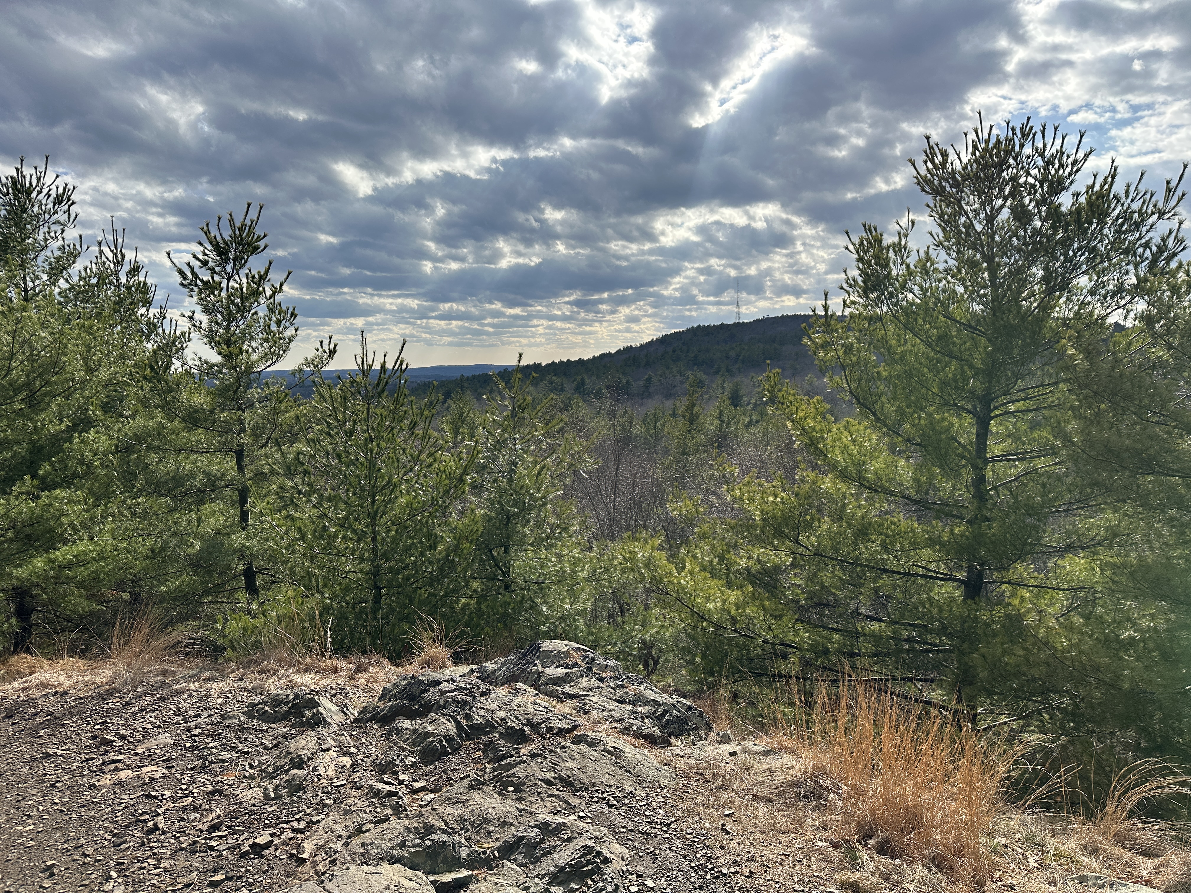
Back on my nonsense after a medium-trafficky drive on a partly sunny 55 degree day. Tragically, I left my camera clip on my other pack, so it was a camera-free day! I wasn't exactly sure of the plan for the day, minus that I was going to go up Eliot Path and probably start a Skyline Loop. I hiked up past the smallest patch of snow left on the bunny hill at the ski area and then a crazy red squirrel soon after. There were a LOT of people between the parking lot and the Eliot Tower (I guess a lot is a strong word, but much more than I'm used to).
I quickly made it up to the summit, again wishing it was a Strava segment, and then noticed some orange flagging on the spur path to the Skyline Trail - I wonder why? Back on the Skyline Trail/Eliot Circle, I had to pass a guy hiking behind his remote-control car, which like... hike your own hike... but... I don't know - I'm adverse to it, but I guess I'm glad he's found a way to enjoy the outdoors?
I continued down Skyline North having to pee but planning to hold it unitl the Hillside St. porta potties. There were no frogs singing, which made me a bit sad, and I passed more people, which made me feel less relaxed than I'm used to. I think March was also wearing me down at this point, so I was a bit extra cranky. Onward!
The sun was feeling delightfully warm when it came out and I noticed a bunch of the coniferous trees were OOZING sap on the descent to the Breakneck Ledge Path junction. I continued up Hancock, hitting the counter-clockwise portion of the Circle Trail for funsies, and then ZOOMED down to the Hillside St. porta potty, as I had officially reached code yellow (the porta potty was in ROUGH shape - I was glad to be able to stand to take care of my business).
I forgot about water until the climb up Houghton, and I also had been noticing the newer lemon-line Nuun tablets tasted stronger and were fizzier. I wasn't mad, but it was interesting. I continued along rather brainlessly up to the summit for #2, and then decided I'd extend the hike by going down Raccoon Hollow to Wildcat Notch to Puddle, which were all in good shape minus some wet spots. I ascended slightly on Chickadee and then hiked the water tower spur and meandered my way back to the parking lot behind the Trailside Museum.

Step-by-Step
- Start hike from Trailside Museum parking on Eliot Path (red dots).
- At terminus, turn right onto Eliot Circle.
- At next jct., turn left onto Summit Road.
- At next jct., turn right onto spur trail to Summit.
- Descend summit towards Skyline Trail South.
- Turn left onto Skyline Trail, and then right onto Skyline Trail North.
- Follow Skyline Trail North to Hillside St.
- At Hillside St., turn right onto Hillside St.
- After stables, turn right onto Skyline Trail South.
- Follow Skyline Trail South to Eliot Circle.
- At jct., turn right to summit Great Blue Hill.
- At summit, turn around.
- Hike to Eliot Tower, and turn turn right onto Raccoon Hollow Path.
- At 1092, turn left onto Wildcat Notch Path.
- At 1103, turn left onto Puddle Path.
- At 1085, turn sharply left onto Chickadee Path.
- At 1072, turn right onto Summit Road.
- At jct., hike to water tower out-and-back, and then turn left onto Summit Trail.
- Halfway down, turn left onto path behind trailside museum.
- Join Eliot Path, return to car.

No comments:
Post a Comment